La Reforma geodata
La Reforma (Veracruz) is a populated place; located in Mexico in America/Mexico_City (GMT-6) time zone. With population of 810 people, there are 10789 cities with bigger population in this country. Compared to other cities in Mexico, 81% of cities are located further ↓South; 69.1% of cities are located further ←West and 99.6% of cities have higher elevation than La Reforma. Note1


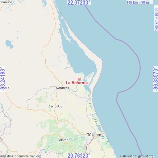
La Reforma GPS coordinates[2]
21° 25' 9.3" North, 97° 32' 19.86" West
| Map corner | latitude | longitude |
|---|---|---|
| Upper-left | 22.07233°, | -98.24198° |
| Center: | 21.41925°, | -97.53885° |
| Lower-right: | 20.76323°, | -96.83573° |
| Map W x H: | 145.6×145.6 km | = 90.5×90.5mi |
| max Lat: | 32.7° ⇑19% North |
| La Reforma: | 21.41925° |
| min Lat: | ⇓81% South 14.53588° |
| min Long | La Reforma | max Long |
| -117.105° | -97.53885° | -86.73105° |
| W 69.1%⇐ | ⇒30.9% E |
Elevation
Elevation of La Reforma is 4 m = 13 ft, and this is 1249.7 m = 4100 ft below average elevation for this country.
| Max E: |
3497 m = 11473 ft | 99.6% |
| Avg. | 1253.7 m = 4113 ft | |
| La Reforma | 4 m = 13 ft | |
Min E: |
-1 m = -3 ft | 0.4% |
See also: Mexico elevation on elevation.city.
Geographical zone
La Reforma is located in North Torrid zone (between Equator and Tropic of Cancer). Distance of this Northern Tropic circle is 224.3 km =139.4 mi to North.| Distance of | km | miles | from La Reforma |
|---|---|---|---|
| North Pole | 7625.5 | 4738.3 | to North |
| Arctic Circle | 5019.6 | 3119 | to North |
| Tropic Cancer | 224.3 | 139.4 | to North |
| Equator | 2381.6 | 1479.9 | to South |


Nearby cities:
15 places around La Reforma: (largest is in red/bold)
• Amatlán
24.4 km =15.2 mi,  247°
247°
• Cervantes
19.9 km =12.4 mi,  241°
241°
• Chinampa de Gorostiza
21.3 km =13.2 mi, 251°
• Colonia las Flores
17.2 km =10.7 mi, 248°
• El Anono
21.9 km =13.6 mi,  213°
213°
• Estero de Milpas
20.5 km =12.7 mi,  153°
153°
• Galeana
21.2 km =13.2 mi,  227°
227°
• La Pimienta
10.3 km =6.4 mi, 229°
• Los Altos
24.7 km =15.3 mi,  294°
294°
• Mamey la Mar
15.8 km =9.8 mi,  314°
314°
• Naranjos
17.1 km =10.6 mi, 243°
• Palo Blanco
16.8 km =10.4 mi,  140°
140°
• Rancho Nuevo
16.7 km =10.4 mi, 236°
• Saladero
0.7 km =0.4 mi, 314°
• Tamiahua
18.3 km =11.4 mi, 148°
Sources, notices
• [Note1] Compared only with cities in Mexico existing in our database
• [Src1] Map data: © OpenStreetMap contributors (CC-BY-SA)
• [Src2] Other city data from geonames.org with taken over terms of usage.
• [Src3] Geographical zone / Annual Mean Temperature by Robert A. Rohde @ Wikipedia
