La Presita geodata
La Presita (Zacatecas) is a populated place; located in Mexico in America/Mexico_City (GMT-6) time zone. With population of 530 people, there are 15970 cities with bigger population in this country. Compared to other cities in Mexico, 83.9% of cities are located further ↓South; 78.4% of cities are located further →East and 79.9% of cities have lower elevation than La Presita. Note1


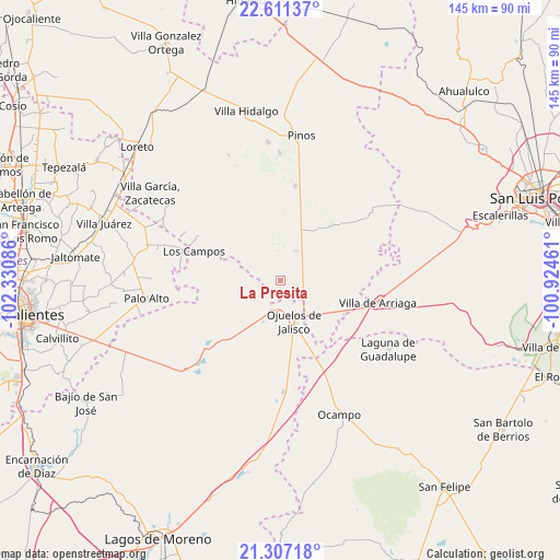
La Presita GPS coordinates[2]
21° 57' 38.772" North, 101° 37' 39.828" West
| Map corner | latitude | longitude |
|---|---|---|
| Upper-left | 22.61137°, | -102.33086° |
| Center: | 21.96077°, | -101.62773° |
| Lower-right: | 21.30718°, | -100.92461° |
| Map W x H: | 145×145 km | = 90.1×90.1mi |
| max Lat: | 32.7° ⇑16.1% North |
| La Presita: | 21.96077° |
| min Lat: | ⇓83.9% South 14.53588° |
| min Long | La Presita | max Long |
| -117.105° | -101.62773° | -86.73105° |
| W 21.6%⇐ | ⇒78.4% E |
Elevation
Elevation of La Presita is 2138 m = 7014 ft, and this is 884.3 m = 2901 ft above average elevation for this country.
| Max E: |
3497 m = 11473 ft | 20.1% |
| La Presita | 2138 m 7014 ft | |
| Avg. | 1253.7 m = 4113 ft | |
Min E: |
-1 m = -3 ft | 79.9% |
See also: Mexico elevation on elevation.city.
Geographical zone
La Presita is located in North Torrid zone (between Equator and Tropic of Cancer). Distance of this Northern Tropic circle is 164.1 km =102 mi to North.| Distance of | km | miles | from La Presita |
|---|---|---|---|
| North Pole | 7565.3 | 4700.9 | to North |
| Arctic Circle | 4959.4 | 3081.6 | to North |
| Tropic Cancer | 164.1 | 102 | to North |
| Equator | 2441.8 | 1517.3 | to South |


Nearby cities:
15 places around La Presita: (largest is in red/bold)
• Agua Gorda de los Patos
18.7 km =11.6 mi,  118°
118°
• El Sitio
4.1 km =2.5 mi,  84°
84°
• Hierba de Matancillas
11.6 km =7.2 mi,  203°
203°
• Jaula de Abajo
8.4 km =5.2 mi,  26°
26°
• Jaula de Arriba
11.1 km =6.9 mi,  40°
40°
• La Blanca (Chihuahua)
14.9 km =9.3 mi, 26°
• La Estrella
20.5 km =12.7 mi,  46°
46°
• La Laborcilla
19.2 km =11.9 mi,  328°
328°
• Matancillas (San Isidro Matancillas)
8.2 km =5.1 mi, 196°
• Ninguno [Granja]
14.5 km =9 mi,  237°
237°
• Ojo de Agua de la Palma
11.3 km =7 mi,  294°
294°
• Ojuelos de Jalisco
11.1 km =6.9 mi,  161°
161°
• Presa Nueva
19.7 km =12.2 mi,  345°
345°
• San José de Castellanos
18.3 km =11.4 mi, 25°
• Santa Elena
12.4 km =7.7 mi, 81°
Sources, notices
• [Note1] Compared only with cities in Mexico existing in our database
• [Src1] Map data: © OpenStreetMap contributors (CC-BY-SA)
• [Src2] Other city data from geonames.org with taken over terms of usage.
• [Src3] Geographical zone / Annual Mean Temperature by Robert A. Rohde @ Wikipedia
