La Laborcilla geodata
La Laborcilla (Zacatecas) is a populated place; located in Mexico in America/Mexico_City (GMT-6) time zone. With population of 769 people, there are 11375 cities with bigger population in this country. Compared to other cities in Mexico, 84.8% of cities are located further ↓South; 79.2% of cities are located further →East and 83.1% of cities have lower elevation than La Laborcilla. Note1


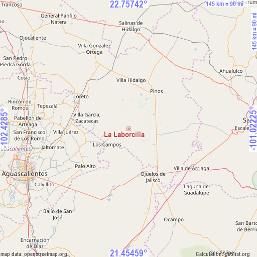
La Laborcilla GPS coordinates[2]
22° 6' 27.036" North, 101° 43' 31.332" West
| Map corner | latitude | longitude |
|---|---|---|
| Upper-left | 22.75742°, | -102.4285° |
| Center: | 22.10751°, | -101.72537° |
| Lower-right: | 21.45459°, | -101.02225° |
| Map W x H: | 144.9×144.9 km | = 90×90mi |
| max Lat: | 32.7° ⇑15.2% North |
| La Laborcilla: | 22.10751° |
| min Lat: | ⇓84.8% South 14.53588° |
| min Long | La Laborcilla | max Long |
| -117.105° | -101.72537° | -86.73105° |
| W 20.8%⇐ | ⇒79.2% E |
Elevation
Elevation of La Laborcilla is 2219 m = 7280 ft, and this is 965.3 m = 3167 ft above average elevation for this country.
| Max E: |
3497 m = 11473 ft | 16.9% |
| La Laborcilla | 2219 m 7280 ft | |
| Avg. | 1253.7 m = 4113 ft | |
Min E: |
-1 m = -3 ft | 83.1% |
See also: Mexico elevation on elevation.city.
Geographical zone
La Laborcilla is located in North Torrid zone (between Equator and Tropic of Cancer). Distance of this Northern Tropic circle is 147.8 km =91.8 mi to North.| Distance of | km | miles | from La Laborcilla |
|---|---|---|---|
| North Pole | 7548.9 | 4690.7 | to North |
| Arctic Circle | 4943 | 3071.4 | to North |
| Tropic Cancer | 147.8 | 91.8 | to North |
| Equator | 2458.1 | 1527.4 | to South |


Nearby cities:
15 places around La Laborcilla: (largest is in red/bold)
• El Nigromante
5.4 km =3.4 mi,  16°
16°
• El Obraje
16.1 km =10 mi,  59°
59°
• Emilio Carranza
14.1 km =8.8 mi,  306°
306°
• Granadas
14.2 km =8.8 mi,  267°
267°
• Jaula de Abajo
16.3 km =10.1 mi,  122°
122°
• Jaula de Arriba
18.9 km =11.7 mi,  114°
114°
• La Blanca (Chihuahua)
16.8 km =10.4 mi,  100°
100°
• La Montesa
11.9 km =7.4 mi,  246°
246°
• La Pachona
13.4 km =8.3 mi,  353°
353°
• La Puerta de Jalisco
8.9 km =5.5 mi, 314°
• Los Campos
15.2 km =9.4 mi,  233°
233°
• Ojo de Agua de la Palma
11.5 km =7.1 mi,  181°
181°
• Pedregoso
16.5 km =10.3 mi, 348°
• Presa Nueva
5.8 km =3.6 mi, 61°
• San José de Castellanos
18 km =11.2 mi,  89°
89°
Sources, notices
• [Note1] Compared only with cities in Mexico existing in our database
• [Src1] Map data: © OpenStreetMap contributors (CC-BY-SA)
• [Src2] Other city data from geonames.org with taken over terms of usage.
• [Src3] Geographical zone / Annual Mean Temperature by Robert A. Rohde @ Wikipedia
