San Pedro geodata
San Pedro (Sinaloa) is a populated place; located in Mexico in America/Mazatlan (GMT-7) time zone. With population of 503 people, there are 16722 cities with bigger population in this country. Compared to other cities in Mexico, 95.8% of cities are located further ↓South; 96.3% of cities are located further →East and 77% of cities have higher elevation than San Pedro. Note1


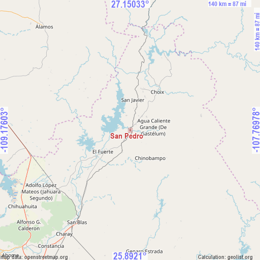
San Pedro GPS coordinates[2]
26° 31' 22.584" North, 108° 28' 22.44" West
| Map corner | latitude | longitude |
|---|---|---|
| Upper-left | 27.15033°, | -109.17603° |
| Center: | 26.52294°, | -108.4729° |
| Lower-right: | 25.8921°, | -107.76978° |
| Map W x H: | 139.9×139.9 km | = 86.9×86.9mi |
| max Lat: | 32.7° ⇑4.2% North |
| San Pedro: | 26.52294° |
| min Lat: | ⇓95.8% South 14.53588° |
| min Long | San Pedro | max Long |
| -117.105° | -108.4729° | -86.73105° |
| W 3.7%⇐ | ⇒96.3% E |
Elevation
Elevation of San Pedro is 154 m = 505 ft, and this is 1099.7 m = 3608 ft below average elevation for this country.
| Max E: |
3497 m = 11473 ft | 77% |
| Avg. | 1253.7 m = 4113 ft | |
| San Pedro | 154 m = 505 ft | |
Min E: |
-1 m = -3 ft | 23% |
See also: Mexico elevation on elevation.city.
Geographical zone
San Pedro is located in North temperate zone (between Tropic of Cancer and the Arctic Circle). Distance of this Northern Tropic circle is 343.2 km =213.3 mi to South.| Distance of | km | miles | from San Pedro |
|---|---|---|---|
| North Pole | 7058 | 4385.6 | to North |
| Arctic Circle | 4452.1 | 2766.4 | to North |
| Tropic Cancer | 343.2 | 213.3 | to South |
| Equator | 2949.1 | 1832.5 | to South |


Nearby cities:
15 places around San Pedro: (largest is in red/bold)
• Agua Caliente Grande (De Gastélum)
12.5 km =7.8 mi,  82°
82°
• Bajosori
19.9 km =12.4 mi,  23°
23°
• Baroten
22.6 km =14 mi,  233°
233°
• Boca de Arroyo
36.2 km =22.5 mi, 230°
• Chinobampo
18.3 km =11.4 mi,  143°
143°
• Choix
25.4 km =15.8 mi,  35°
35°
• El Canutillo
22.5 km =14 mi,  222°
222°
• El Fuerte
18.7 km =11.6 mi, 230°
• Estación Hoyancos (Estación el Fuerte)
21.1 km =13.1 mi,  214°
214°
• Guadalupe
18.8 km =11.7 mi,  54°
54°
• La Bajada del Monte
30.6 km =19 mi, 227°
• Los Capomos
11.8 km =7.3 mi,  201°
201°
• San Javier
16.7 km =10.4 mi,  4°
4°
• Santa Ana
11.5 km =7.1 mi, 49°
• Tehueco
37 km =23 mi, 227°
Sources, notices
• [Note1] Compared only with cities in Mexico existing in our database
• [Src1] Map data: © OpenStreetMap contributors (CC-BY-SA)
• [Src2] Other city data from geonames.org with taken over terms of usage.
• [Src3] Geographical zone / Annual Mean Temperature by Robert A. Rohde @ Wikipedia
