Pozos de Gamboa geodata
Pozos de Gamboa (Zacatecas) is a populated place; located in Mexico in America/Mexico_City (GMT-6) time zone. With population of 5,221 people, there are 1772 cities with bigger population in this country. Compared to other cities in Mexico, 87.9% of cities are located further ↓South; 84.4% of cities are located further →East and 85.2% of cities have lower elevation than Pozos de Gamboa. Note1


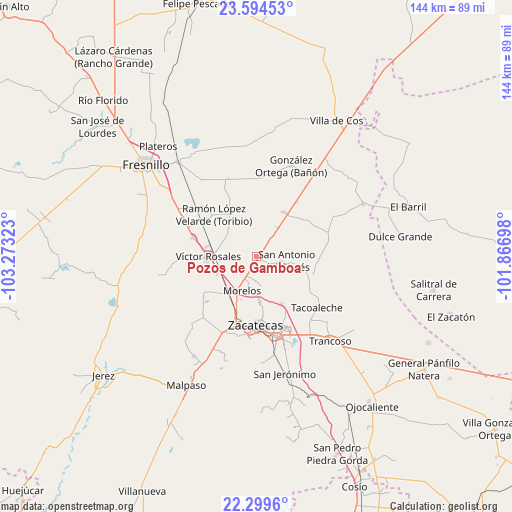
Pozos de Gamboa GPS coordinates[2]
22° 56' 54.996" North, 102° 34' 12.36" West
| Map corner | latitude | longitude |
|---|---|---|
| Upper-left | 23.59453°, | -103.27323° |
| Center: | 22.94861°, | -102.5701° |
| Lower-right: | 22.2996°, | -101.86698° |
| Map W x H: | 144×144 km | = 89.5×89.5mi |
| max Lat: | 32.7° ⇑12.1% North |
| Pozos de Gamboa: | 22.94861° |
| min Lat: | ⇓87.9% South 14.53588° |
| min Long | Pozos de Gamboa | max Long |
| -117.105° | -102.5701° | -86.73105° |
| W 15.6%⇐ | ⇒84.4% E |
Elevation
Elevation of Pozos de Gamboa is 2263 m = 7425 ft, and this is 1009.3 m = 3311 ft above average elevation for this country.
| Max E: |
3497 m = 11473 ft | 14.8% |
| Pozos de Gamboa | 2263 m 7425 ft | |
| Avg. | 1253.7 m = 4113 ft | |
Min E: |
-1 m = -3 ft | 85.2% |
See also: Mexico elevation on elevation.city.
Geographical zone
Pozos de Gamboa is located in North Torrid zone (between Equator and Tropic of Cancer). Distance of this Northern Tropic circle is 54.3 km =33.7 mi to North.| Distance of | km | miles | from Pozos de Gamboa |
|---|---|---|---|
| North Pole | 7455.4 | 4632.6 | to North |
| Arctic Circle | 4849.5 | 3013.3 | to North |
| Tropic Cancer | 54.3 | 33.7 | to North |
| Equator | 2551.6 | 1585.5 | to South |


Nearby cities:
15 places around Pozos de Gamboa: (largest is in red/bold)
• Casa de Cerros
8.7 km =5.4 mi,  144°
144°
• El Lampotal
16.5 km =10.3 mi,  110°
110°
• General Enrique Estrada
18.5 km =11.5 mi,  287°
287°
• Hacienda Nueva
14.3 km =8.9 mi,  195°
195°
• Laguna Seca
14.7 km =9.1 mi,  31°
31°
• Las Catarinas
16.5 km =10.3 mi,  343°
343°
• Las Pilas
12.8 km =8 mi, 199°
• Los Pozos
9.8 km =6.1 mi,  56°
56°
• Morelos
10.5 km =6.5 mi, 203°
• Pánuco
8.6 km =5.3 mi,  159°
159°
• San Antonio del Cipres
8.6 km =5.3 mi,  97°
97°
• Santa Rita
16.1 km =10 mi, 104°
• Sauceda de La Borda
14.9 km =9.3 mi,  152°
152°
• Vetagrande
12.8 km =8 mi,  173°
173°
• Víctor Rosales
13.5 km =8.4 mi,  270°
270°
Sources, notices
• [Note1] Compared only with cities in Mexico existing in our database
• [Src1] Map data: © OpenStreetMap contributors (CC-BY-SA)
• [Src2] Other city data from geonames.org with taken over terms of usage.
• [Src3] Geographical zone / Annual Mean Temperature by Robert A. Rohde @ Wikipedia
