La Hincada geodata
La Hincada (San Luis Potosí) is a populated place; located in Mexico in America/Mexico_City (GMT-6) time zone. With population of 847 people, there are 10331 cities with bigger population in this country. Compared to other cities in Mexico, 87.2% of cities are located further ↓South; 65.2% of cities are located further →East and 55.8% of cities have higher elevation than La Hincada. Note1


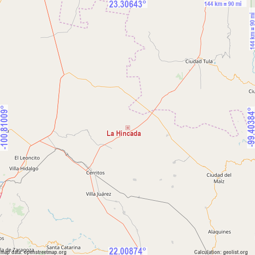
La Hincada GPS coordinates[2]
22° 39' 32.832" North, 100° 6' 25.056" West
| Map corner | latitude | longitude |
|---|---|---|
| Upper-left | 23.30643°, | -100.81009° |
| Center: | 22.65912°, | -100.10696° |
| Lower-right: | 22.00874°, | -99.40384° |
| Map W x H: | 144.3×144.3 km | = 89.7×89.7mi |
| max Lat: | 32.7° ⇑12.8% North |
| La Hincada: | 22.65912° |
| min Lat: | ⇓87.2% South 14.53588° |
| min Long | La Hincada | max Long |
| -117.105° | -100.10696° | -86.73105° |
| W 34.8%⇐ | ⇒65.2% E |
Elevation
Elevation of La Hincada is 1166 m = 3825 ft, and this is 87.7 m = 288 ft below average elevation for this country.
| Max E: |
3497 m = 11473 ft | 55.8% |
| Avg. | 1253.7 m = 4113 ft | |
| La Hincada | 1166 m = 3825 ft | |
Min E: |
-1 m = -3 ft | 44.2% |
See also: Mexico elevation on elevation.city.
Geographical zone
La Hincada is located in North Torrid zone (between Equator and Tropic of Cancer). Distance of this Northern Tropic circle is 86.5 km =53.7 mi to North.| Distance of | km | miles | from La Hincada |
|---|---|---|---|
| North Pole | 7487.6 | 4652.6 | to North |
| Arctic Circle | 4881.7 | 3033.3 | to North |
| Tropic Cancer | 86.5 | 53.7 | to North |
| Equator | 2519.5 | 1565.5 | to South |


Nearby cities:
15 places around La Hincada: (largest is in red/bold)
• Abrego
27.6 km =17.1 mi,  265°
265°
• Buenavista
7.7 km =4.8 mi,  208°
208°
• Cerritos
31.5 km =19.6 mi,  215°
215°
• Derramaderos
23.5 km =14.6 mi,  226°
226°
• El Custodio
14.1 km =8.8 mi,  93°
93°
• El Quelital
15.1 km =9.4 mi, 216°
• Emiliano Zapata
17.2 km =10.7 mi,  49°
49°
• Granjenal
29.9 km =18.6 mi,  172°
172°
• Guadalcázar
30.4 km =18.9 mi,  261°
261°
• Magdaleno Cedillo
22.5 km =14 mi, 50°
• Negritas
15.9 km =9.9 mi,  339°
339°
• Ojo de Agua
24 km =14.9 mi,  176°
176°
• Palomas
33 km =20.5 mi,  126°
126°
• San Rafael Matriz
22.8 km =14.2 mi,  101°
101°
• Santo Domingo
29.2 km =18.1 mi,  321°
321°
Sources, notices
• [Note1] Compared only with cities in Mexico existing in our database
• [Src1] Map data: © OpenStreetMap contributors (CC-BY-SA)
• [Src2] Other city data from geonames.org with taken over terms of usage.
• [Src3] Geographical zone / Annual Mean Temperature by Robert A. Rohde @ Wikipedia
