La Central geodata
La Central (Colima) is a populated place; located in Mexico in America/Mexico_City (GMT-6) time zone. With population of 1,317 people, there are 6586 cities with bigger population in this country. Compared to other cities in Mexico, 62.3% of cities are located further ↑North; 90.8% of cities are located further →East and 84.3% of cities have higher elevation than La Central. Note1


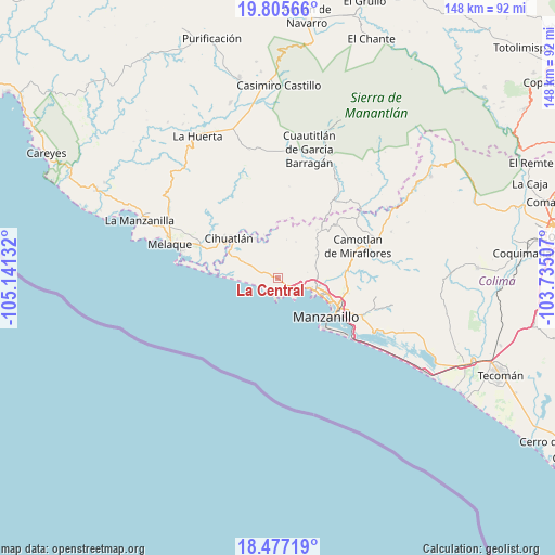
La Central GPS coordinates[2]
19° 8' 33.936" North, 104° 26' 17.484" West
| Map corner | latitude | longitude |
|---|---|---|
| Upper-left | 19.80566°, | -105.14132° |
| Center: | 19.14276°, | -104.43819° |
| Lower-right: | 18.47719°, | -103.73507° |
| Map W x H: | 147.7×147.7 km | = 91.8×91.8mi |
| max Lat: | 32.7° ⇑62.3% North |
| La Central: | 19.14276° |
| min Lat: | ⇓37.7% South 14.53588° |
| min Long | La Central | max Long |
| -117.105° | -104.43819° | -86.73105° |
| W 9.2%⇐ | ⇒90.8% E |
Elevation
Elevation of La Central is 49 m = 161 ft, and this is 1204.7 m = 3952 ft below average elevation for this country.
| Max E: |
3497 m = 11473 ft | 84.3% |
| Avg. | 1253.7 m = 4113 ft | |
| La Central | 49 m = 161 ft | |
Min E: |
-1 m = -3 ft | 15.7% |
See also: Mexico elevation on elevation.city.
Geographical zone
La Central is located in North Torrid zone (between Equator and Tropic of Cancer). Distance of this Northern Tropic circle is 477.4 km =296.6 mi to North.| Distance of | km | miles | from La Central |
|---|---|---|---|
| North Pole | 7878.6 | 4895.5 | to North |
| Arctic Circle | 5272.7 | 3276.3 | to North |
| Tropic Cancer | 477.4 | 296.6 | to North |
| Equator | 2128.5 | 1322.6 | to South |


Nearby cities:
15 places around La Central: (largest is in red/bold)
• Camotlán de Miraflores
23 km =14.3 mi,  68°
68°
• Cedros
26.1 km =16.2 mi,  53°
53°
• Chandiablo
12.1 km =7.5 mi,  59°
59°
• Chavarín
14.3 km =8.9 mi,  297°
297°
• Cihuatlán
16.9 km =10.5 mi,  308°
308°
• El Aguacate
23.5 km =14.6 mi,  293°
293°
• El Colomo
21 km =13 mi,  115°
115°
• El Garcero
23.9 km =14.9 mi,  113°
113°
• El Naranjo
2.5 km =1.6 mi, 123°
• Francisco Villa
19 km =11.8 mi,  101°
101°
• Jalipa
18.1 km =11.2 mi, 97°
• Las Juntas (La Floreña)
24.5 km =15.2 mi, 113°
• Manzanillo
10.5 km =6.5 mi, 105°
• Río Marabasco
13.6 km =8.5 mi,  315°
315°
• Tapeixtles
18.2 km =11.3 mi, 116°
Sources, notices
• [Note1] Compared only with cities in Mexico existing in our database
• [Src1] Map data: © OpenStreetMap contributors (CC-BY-SA)
• [Src2] Other city data from geonames.org with taken over terms of usage.
• [Src3] Geographical zone / Annual Mean Temperature by Robert A. Rohde @ Wikipedia
