El Fuerte geodata
El Fuerte (Zacatecas) is a populated place; located in Mexico in America/Mexico_City (GMT-6) time zone. With population of 683 people, there are 12712 cities with bigger population in this country. Compared to other cities in Mexico, 87.2% of cities are located further ↓South; 85% of cities are located further →East and 80.9% of cities have lower elevation than El Fuerte. Note1


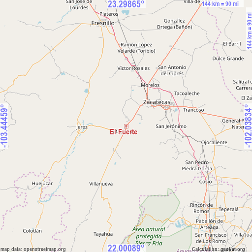
El Fuerte GPS coordinates[2]
22° 39' 4.68" North, 102° 44' 29.256" West
| Map corner | latitude | longitude |
|---|---|---|
| Upper-left | 23.29865°, | -103.44459° |
| Center: | 22.6513°, | -102.74146° |
| Lower-right: | 22.00089°, | -102.03834° |
| Map W x H: | 144.3×144.3 km | = 89.7×89.7mi |
| max Lat: | 32.7° ⇑12.8% North |
| El Fuerte: | 22.6513° |
| min Lat: | ⇓87.2% South 14.53588° |
| min Long | El Fuerte | max Long |
| -117.105° | -102.74146° | -86.73105° |
| W 15%⇐ | ⇒85% E |
Elevation
Elevation of El Fuerte is 2162 m = 7093 ft, and this is 908.3 m = 2980 ft above average elevation for this country.
| Max E: |
3497 m = 11473 ft | 19.1% |
| El Fuerte | 2162 m 7093 ft | |
| Avg. | 1253.7 m = 4113 ft | |
Min E: |
-1 m = -3 ft | 80.9% |
See also: Mexico elevation on elevation.city.
Geographical zone
El Fuerte is located in North Torrid zone (between Equator and Tropic of Cancer). Distance of this Northern Tropic circle is 87.3 km =54.2 mi to North.| Distance of | km | miles | from El Fuerte |
|---|---|---|---|
| North Pole | 7488.5 | 4653.1 | to North |
| Arctic Circle | 4882.6 | 3033.9 | to North |
| Tropic Cancer | 87.3 | 54.2 | to North |
| Equator | 2518.6 | 1565 | to South |


Nearby cities:
15 places around El Fuerte: (largest is in red/bold)
• Bañuelos
23.2 km =14.4 mi,  90°
90°
• Benito Juárez
5.1 km =3.2 mi,  0°
0°
• Cieneguillas
14.3 km =8.9 mi,  34°
34°
• Colonia Felipe Ángeles
12.5 km =7.8 mi,  204°
204°
• Francisco I. Madero
16.3 km =10.1 mi,  8°
8°
• García de la Cadena
10.1 km =6.3 mi,  52°
52°
• González Ortega (Machines)
3 km =1.9 mi, 50°
• Hacienda Nueva
23.6 km =14.7 mi,  35°
35°
• Malpaso
3.5 km =2.2 mi,  217°
217°
• Perales
22.8 km =14.2 mi,  122°
122°
• Picones
15.9 km =9.9 mi, 43°
• Pimienta
19.2 km =11.9 mi, 35°
• San Ramón
22.8 km =14.2 mi,  76°
76°
• Santa Rita (Luis Moya)
22.4 km =13.9 mi,  293°
293°
• Zacatecas
21 km =13 mi, 51°
Sources, notices
• [Note1] Compared only with cities in Mexico existing in our database
• [Src1] Map data: © OpenStreetMap contributors (CC-BY-SA)
• [Src2] Other city data from geonames.org with taken over terms of usage.
• [Src3] Geographical zone / Annual Mean Temperature by Robert A. Rohde @ Wikipedia
