Siviral geodata
Siviral (Sonora) is a populated place; located in Mexico in America/Hermosillo (GMT-7) time zone. With population of 1,021 people, there are 8525 cities with bigger population in this country. Compared to other cities in Mexico, 96.5% of cities are located further ↓South; 97.5% of cities are located further →East and 86.3% of cities have higher elevation than Siviral. Note1


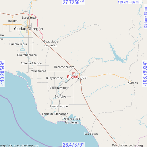
Siviral GPS coordinates[2]
27° 6' 5.22" North, 109° 30' 8.496" West
| Map corner | latitude | longitude |
|---|---|---|
| Upper-left | 27.72561°, | -110.20549° |
| Center: | 27.10145°, | -109.50236° |
| Lower-right: | 26.47379°, | -108.79924° |
| Map W x H: | 139.2×139.2 km | = 86.5×86.5mi |
| max Lat: | 32.7° ⇑3.5% North |
| Siviral: | 27.10145° |
| min Lat: | ⇓96.5% South 14.53588° |
| min Long | Siviral | max Long |
| -117.105° | -109.50236° | -86.73105° |
| W 2.5%⇐ | ⇒97.5% E |
Elevation
Elevation of Siviral is 37 m = 121 ft, and this is 1216.7 m = 3992 ft below average elevation for this country.
| Max E: |
3497 m = 11473 ft | 86.3% |
| Avg. | 1253.7 m = 4113 ft | |
| Siviral | 37 m = 121 ft | |
Min E: |
-1 m = -3 ft | 13.7% |
See also: Mexico elevation on elevation.city.
Geographical zone
Siviral is located in North temperate zone (between Tropic of Cancer and the Arctic Circle). Distance of this Northern Tropic circle is 407.5 km =253.2 mi to South.| Distance of | km | miles | from Siviral |
|---|---|---|---|
| North Pole | 6993.7 | 4345.7 | to North |
| Arctic Circle | 4387.8 | 2726.5 | to North |
| Tropic Cancer | 407.5 | 253.2 | to South |
| Equator | 3013.4 | 1872.4 | to South |


Nearby cities:
15 places around Siviral: (largest is in red/bold)
• Aquichopo
6.4 km =4 mi,  244°
244°
• Bacame Nuevo
11 km =6.8 mi,  305°
305°
• Buiyacusi
9 km =5.6 mi,  54°
54°
• Capohuiza
6.3 km =3.9 mi,  57°
57°
• Chibucú
10.4 km =6.5 mi,  80°
80°
• Chinotahueca
9 km =5.6 mi,  198°
198°
• El Recodo
3.7 km =2.3 mi,  222°
222°
• El Siviral (Jigica)
0.2 km =0.1 mi, 60°
• Guaymitas
6.4 km =4 mi, 81°
• Loma del Refugio
4.8 km =3 mi, 61°
• Los Bahuises
3.9 km =2.4 mi, 64°
• Navojoa
6.8 km =4.2 mi,  120°
120°
• Navolato
10 km =6.2 mi, 221°
• Rancho Camargo
2.8 km =1.7 mi,  267°
267°
• Rosales
7.2 km =4.5 mi, 61°
Sources, notices
• [Note1] Compared only with cities in Mexico existing in our database
• [Src1] Map data: © OpenStreetMap contributors (CC-BY-SA)
• [Src2] Other city data from geonames.org with taken over terms of usage.
• [Src3] Geographical zone / Annual Mean Temperature by Robert A. Rohde @ Wikipedia
