Cervantes geodata
Cervantes (Zacatecas) is a populated place; located in Mexico in America/Mexico_City (GMT-6) time zone. With population of 526 people, there are 16064 cities with bigger population in this country. Compared to other cities in Mexico, 88.8% of cities are located further ↓South; 81% of cities are located further →East and 71.4% of cities have lower elevation than Cervantes. Note1


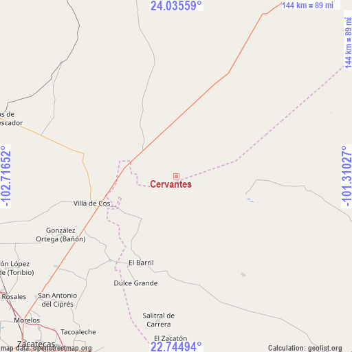
Cervantes GPS coordinates[2]
23° 23' 30.624" North, 102° 0' 48.204" West
| Map corner | latitude | longitude |
|---|---|---|
| Upper-left | 24.03559°, | -102.71652° |
| Center: | 23.39184°, | -102.01339° |
| Lower-right: | 22.74494°, | -101.31027° |
| Map W x H: | 143.5×143.5 km | = 89.2×89.2mi |
| max Lat: | 32.7° ⇑11.2% North |
| Cervantes: | 23.39184° |
| min Lat: | ⇓88.8% South 14.53588° |
| min Long | Cervantes | max Long |
| -117.105° | -102.01339° | -86.73105° |
| W 19%⇐ | ⇒81% E |
Elevation
Elevation of Cervantes is 1954 m = 6411 ft, and this is 700.3 m = 2298 ft above average elevation for this country.
| Max E: |
3497 m = 11473 ft | 28.6% |
| Cervantes | 1954 m 6411 ft | |
| Avg. | 1253.7 m = 4113 ft | |
Min E: |
-1 m = -3 ft | 71.4% |
See also: Mexico elevation on elevation.city.
Geographical zone
Cervantes is located in North Torrid zone (between Equator and Tropic of Cancer). Distance of this Northern Tropic circle is 5 km =3.1 mi to North.| Distance of | km | miles | from Cervantes |
|---|---|---|---|
| North Pole | 7406.1 | 4601.9 | to North |
| Arctic Circle | 4800.2 | 2982.7 | to North |
| Tropic Cancer | 5 | 3.1 | to North |
| Equator | 2600.9 | 1616.1 | to South |


Nearby cities:
15 places around Cervantes: (largest is in red/bold)
• Cañas
26.3 km =16.3 mi,  280°
280°
• El Barril
38 km =23.6 mi,  202°
202°
• El Rucio
7.2 km =4.5 mi, 283°
• Emiliano Zapata (San Antonio del Burro)
25.7 km =16 mi,  324°
324°
• Hernández
39.9 km =24.8 mi,  183°
183°
• Illescas
21.5 km =13.4 mi,  218°
218°
• Jesús María
32.1 km =19.9 mi,  214°
214°
• La Prieta
13.2 km =8.2 mi,  258°
258°
• Nueva Pastoría
24 km =14.9 mi,  25°
25°
• Providencia
25 km =15.5 mi, 179°
• Santa Matilde
19.5 km =12.1 mi,  110°
110°
• Santo Domingo
29.2 km =18.1 mi,  104°
104°
• Tierra y Libertad (San Blas)
38.9 km =24.2 mi, 280°
• Villa de Cos
36.1 km =22.4 mi,  252°
252°
• Zancarron
21.1 km =13.1 mi, 264°
Sources, notices
• [Note1] Compared only with cities in Mexico existing in our database
• [Src1] Map data: © OpenStreetMap contributors (CC-BY-SA)
• [Src2] Other city data from geonames.org with taken over terms of usage.
• [Src3] Geographical zone / Annual Mean Temperature by Robert A. Rohde @ Wikipedia
