La Providencia geodata
La Providencia (State of Mexico) is a populated place; located in Mexico in America/Mexico_City (GMT-6) time zone. With population of 3,806 people, there are 2400 cities with bigger population in this country. Compared to other cities in Mexico, 51.7% of cities are located further ↓South; 51.8% of cities are located further →East and 84.4% of cities have lower elevation than La Providencia. Note1


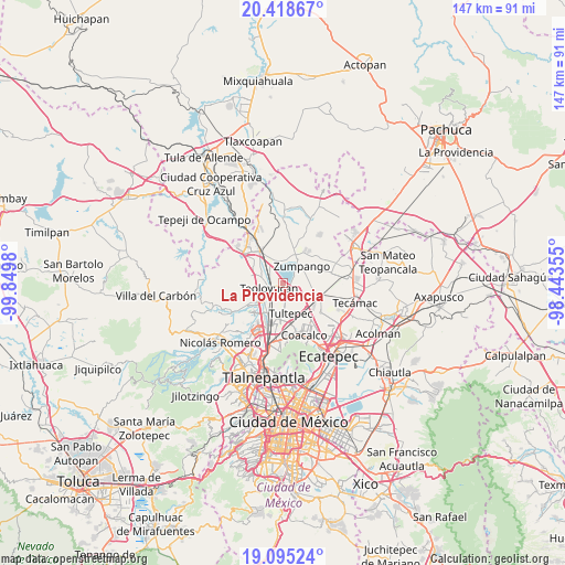
La Providencia GPS coordinates[2]
19° 45' 29.988" North, 99° 8' 48.012" West
| Map corner | latitude | longitude |
|---|---|---|
| Upper-left | 20.41867°, | -99.8498° |
| Center: | 19.75833°, | -99.14667° |
| Lower-right: | 19.09524°, | -98.44355° |
| Map W x H: | 147.2×147.2 km | = 91.5×91.5mi |
| max Lat: | 32.7° ⇑48.3% North |
| La Providencia: | 19.75833° |
| min Lat: | ⇓51.7% South 14.53588° |
| min Long | La Providencia | max Long |
| -117.105° | -99.14667° | -86.73105° |
| W 48.2%⇐ | ⇒51.8% E |
Elevation
Elevation of La Providencia is 2250 m = 7382 ft, and this is 996.3 m = 3269 ft above average elevation for this country.
| Max E: |
3497 m = 11473 ft | 15.6% |
| La Providencia | 2250 m 7382 ft | |
| Avg. | 1253.7 m = 4113 ft | |
Min E: |
-1 m = -3 ft | 84.4% |
See also: Mexico elevation on elevation.city.
Geographical zone
La Providencia is located in North Torrid zone (between Equator and Tropic of Cancer). Distance of this Northern Tropic circle is 409 km =254.1 mi to North.| Distance of | km | miles | from La Providencia |
|---|---|---|---|
| North Pole | 7810.1 | 4853 | to North |
| Arctic Circle | 5204.3 | 3233.8 | to North |
| Tropic Cancer | 409 | 254.1 | to North |
| Equator | 2196.9 | 1365.1 | to South |


Nearby cities:
15 places around La Providencia: (largest is in red/bold)
• Barrio Tlatenco
5.2 km =3.2 mi,  245°
245°
• Colonia Pueblo Nuevo (Hacienda San Rosendo)
2.9 km =1.8 mi,  66°
66°
• El Llano Santa María
6.9 km =4.3 mi, 65°
• El Ramal (Las Ladrilleras)
4.1 km =2.5 mi,  280°
280°
• Jaltenco
5.6 km =3.5 mi,  96°
96°
• La Planada
4.6 km =2.9 mi,  304°
304°
• Los Álamos II
3.8 km =2.4 mi,  166°
166°
• Melchor Ocampo
6.3 km =3.9 mi,  178°
178°
• San Bartolo
3.3 km =2.1 mi,  204°
204°
• San Francisco Tenopalco
6 km =3.7 mi,  147°
147°
• San José del Puente
6.7 km =4.2 mi,  231°
231°
• San Juan Zitlaltepec
6 km =3.7 mi,  1°
1°
• Santa María Huecatitla
4.4 km =2.7 mi,  212°
212°
• Teoloyucan
3.9 km =2.4 mi, 246°
• Zumpango
6.5 km =4 mi,  49°
49°
Sources, notices
• [Note1] Compared only with cities in Mexico existing in our database
• [Src1] Map data: © OpenStreetMap contributors (CC-BY-SA)
• [Src2] Other city data from geonames.org with taken over terms of usage.
• [Src3] Geographical zone / Annual Mean Temperature by Robert A. Rohde @ Wikipedia
