El Ámbar geodata
El Ámbar (Chiapas) is a populated place; located in Mexico in America/Mexico_City (GMT-6) time zone. With population of 1,157 people, there are 7495 cities with bigger population in this country. Compared to other cities in Mexico, 88.6% of cities are located further ↑North; 89.6% of cities are located further ←West and 55.6% of cities have lower elevation than El Ámbar. Note1


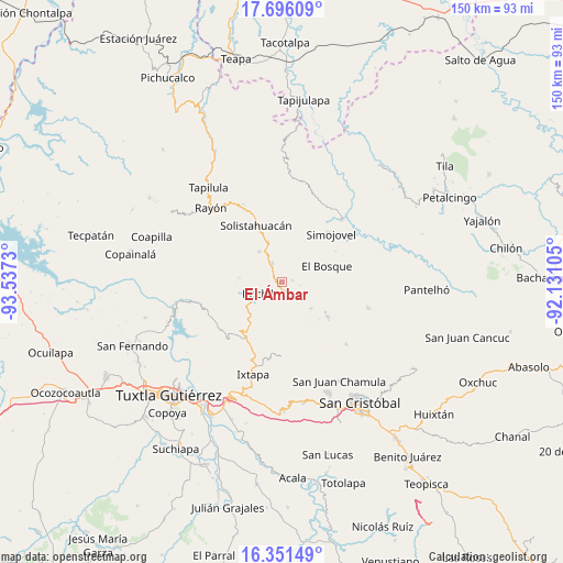
El Ámbar GPS coordinates[2]
17° 1' 30" North, 92° 50' 3.012" West
| Map corner | latitude | longitude |
|---|---|---|
| Upper-left | 17.69609°, | -93.5373° |
| Center: | 17.025°, | -92.83417° |
| Lower-right: | 16.35149°, | -92.13105° |
| Map W x H: | 149.5×149.5 km | = 92.9×92.9mi |
| max Lat: | 32.7° ⇑88.6% North |
| El Ámbar: | 17.025° |
| min Lat: | ⇓11.4% South 14.53588° |
| min Long | El Ámbar | max Long |
| -117.105° | -92.83417° | -86.73105° |
| W 89.6%⇐ | ⇒10.4% E |
Elevation
Elevation of El Ámbar is 1605 m = 5266 ft, and this is 351.3 m = 1153 ft above average elevation for this country.
| Max E: |
3497 m = 11473 ft | 44.4% |
| El Ámbar | 1605 m 5266 ft | |
| Avg. | 1253.7 m = 4113 ft | |
Min E: |
-1 m = -3 ft | 55.6% |
See also: Mexico elevation on elevation.city.
Geographical zone
El Ámbar is located in North Torrid zone (between Equator and Tropic of Cancer). Distance of this Northern Tropic circle is 712.9 km =443 mi to North.| Distance of | km | miles | from El Ámbar |
|---|---|---|---|
| North Pole | 8114.1 | 5041.9 | to North |
| Arctic Circle | 5508.2 | 3422.6 | to North |
| Tropic Cancer | 712.9 | 443 | to North |
| Equator | 1893 | 1176.3 | to South |


Nearby cities:
15 places around El Ámbar: (largest is in red/bold)
• Altagracia
6.4 km =4 mi,  82°
82°
• Bochil
6.9 km =4.3 mi,  242°
242°
• Carmen Zacatal
7.1 km =4.4 mi,  28°
28°
• Chuchiltón
7.5 km =4.7 mi,  177°
177°
• Chuchiltón Anexo Potobtic Dos
5.9 km =3.7 mi,  195°
195°
• Cálido
9.6 km =6 mi, 31°
• Jitotol
5.5 km =3.4 mi,  328°
328°
• Los Plátanos
10 km =6.2 mi,  102°
102°
• Los Ángeles
9.1 km =5.7 mi, 76°
• Majoval
3.5 km =2.2 mi,  163°
163°
• Maravillas
10 km =6.2 mi,  322°
322°
• Monte Grande
10.1 km =6.3 mi, 197°
• Tierra Colorada
8.7 km =5.4 mi,  262°
262°
• Unión Zaragoza
6.4 km =4 mi,  348°
348°
• Álvaro Obregón
2.9 km =1.8 mi, 81°
Sources, notices
• [Note1] Compared only with cities in Mexico existing in our database
• [Src1] Map data: © OpenStreetMap contributors (CC-BY-SA)
• [Src2] Other city data from geonames.org with taken over terms of usage.
• [Src3] Geographical zone / Annual Mean Temperature by Robert A. Rohde @ Wikipedia
