San Martín Mazateopan geodata
San Martín Mazateopan (Puebla) is a populated place; located in Mexico in America/Mexico_City (GMT-6) time zone. With population of 1,077 people, there are 8093 cities with bigger population in this country. Compared to other cities in Mexico, 73.1% of cities are located further ↑North; 77.1% of cities are located further ←West and 75% of cities have higher elevation than San Martín Mazateopan. Note1
Current local time in San Martín Mazateopan:
12:53 AM, WednesdayDifference from your time zone: hours


San Martín Mazateopan GPS coordinates[2]
18° 27' 10.008" North, 96° 48' 57.996" West
| Map corner | latitude | longitude |
|---|---|---|
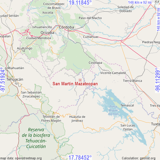
| Upper-left | 19.11845°, | -97.51924° |
| Center: | 18.45278°, | -96.81611° |
| Lower-right: | 17.78452°, | -96.11299° |
| Map W x H: | 148.3×148.3 km | = 92.1×92.1mi |
| max Lat: | 32.7° ⇑73.1% North |
| San Martín Mazateopan: | 18.45278° |
| min Lat: | ⇓26.9% South 14.53588° |
| min Long | San Martín Maz | max Long |
| -117.105° | -96.81611° | -86.73105° |
| W 77.1%⇐ | ⇒22.9% E |
Elevation
Elevation of San Martín Mazateopan is 223 m = 732 ft, and this is 1030.7 m = 3382 ft below average elevation for this country.
| Max E: |
3497 m = 11473 ft | 75% |
| Avg. | 1253.7 m = 4113 ft | |
| San Martín Mazateopan | 223 m = 732 ft | |
Min E: |
-1 m = -3 ft | 25% |
See also: Mexico elevation on elevation.city.
Geographical zone
San Martín Mazateopan is located in North Torrid zone (between Equator and Tropic of Cancer). Distance of this Northern Tropic circle is 554.2 km =344.4 mi to North.| Distance of | km | miles | from San Martín Mazateopan |
|---|---|---|---|
| North Pole | 7955.3 | 4943.2 | to North |
| Arctic Circle | 5349.4 | 3324 | to North |
| Tropic Cancer | 554.2 | 344.4 | to North |
| Equator | 2051.8 | 1274.9 | to South |


Nearby cities:
15 places around San Martín Mazateopan: (largest is in red/bold)
• Almilinga
9.1 km =5.7 mi,  17°
17°
• Atlizacuapan
5.9 km =3.7 mi,  75°
75°
• Caxapa
5 km =3.1 mi,  118°
118°
• Coyolapa
8.3 km =5.2 mi,  239°
239°
• El Suspiro
4.3 km =2.7 mi,  70°
70°
• Ixtacapa el Chico
8.8 km =5.5 mi,  61°
61°
• Las Limas
10 km =6.2 mi, 73°
• Limonestitla
6 km =3.7 mi,  347°
347°
• Loma Bonita
8.7 km =5.4 mi,  321°
321°
• Palmar Grande
8 km =5 mi,  29°
29°
• Tentziantla (San Marcos)
1.9 km =1.2 mi, 345°
• Tepetlampa
7.6 km =4.7 mi, 350°
• Tilica
10.8 km =6.7 mi,  355°
355°
• Tlacotepec
6.6 km =4.1 mi,  213°
213°
• Xonotipan de Juárez
9.7 km =6 mi,  297°
297°
Sources, notices
• [Note1] Compared only with cities in Mexico existing in our database
• [Src1] Map data: © OpenStreetMap contributors (CC-BY-SA)
• [Src2] Other city data from geonames.org with taken over terms of usage.
• [Src3] Geographical zone / Annual Mean Temperature by Robert A. Rohde @ Wikipedia
