La Soledad geodata
La Soledad (Puebla) is a populated place; located in Mexico in America/Mexico_City (GMT-6) time zone. With population of 1,067 people, there are 8174 cities with bigger population in this country. Compared to other cities in Mexico, 68.6% of cities are located further ↑North; 66.5% of cities are located further ←West and 72.3% of cities have lower elevation than La Soledad. Note1


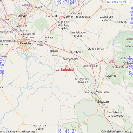
La Soledad GPS coordinates[2]
18° 48' 36" North, 97° 45' 51.012" West
| Map corner | latitude | longitude |
|---|---|---|
| Upper-left | 19.47424°, | -98.4673° |
| Center: | 18.81°, | -97.76417° |
| Lower-right: | 18.14312°, | -97.06105° |
| Map W x H: | 148×148 km | = 92×92mi |
| max Lat: | 32.7° ⇑68.6% North |
| La Soledad: | 18.81° |
| min Lat: | ⇓31.4% South 14.53588° |
| min Long | La Soledad | max Long |
| -117.105° | -97.76417° | -86.73105° |
| W 66.5%⇐ | ⇒33.5% E |
Elevation
Elevation of La Soledad is 1974 m = 6476 ft, and this is 720.3 m = 2363 ft above average elevation for this country.
| Max E: |
3497 m = 11473 ft | 27.7% |
| La Soledad | 1974 m 6476 ft | |
| Avg. | 1253.7 m = 4113 ft | |
Min E: |
-1 m = -3 ft | 72.3% |
See also: Mexico elevation on elevation.city.
Geographical zone
La Soledad is located in North Torrid zone (between Equator and Tropic of Cancer). Distance of this Northern Tropic circle is 514.4 km =319.6 mi to North.| Distance of | km | miles | from La Soledad |
|---|---|---|---|
| North Pole | 7915.6 | 4918.5 | to North |
| Arctic Circle | 5309.7 | 3299.3 | to North |
| Tropic Cancer | 514.4 | 319.6 | to North |
| Equator | 2091.5 | 1299.6 | to South |


Nearby cities:
15 places around La Soledad: (largest is in red/bold)
• Francisco Villa
3.8 km =2.4 mi,  1°
1°
• José María Pino Suárez
6.5 km =4 mi,  27°
27°
• La Laguna
3.1 km =1.9 mi,  112°
112°
• La Purísima
3.9 km =2.4 mi,  304°
304°
• Rubén Jaramillo
2.8 km =1.7 mi,  22°
22°
• San Antonio Tecolco
4.9 km =3 mi,  342°
342°
• San Antonio la Portilla
1.6 km =1 mi,  174°
174°
• San Baltazar
2.9 km =1.8 mi,  161°
161°
• San Gabriel Tetzoyocán
8.7 km =5.4 mi,  132°
132°
• Santa Rosa
7.7 km =4.8 mi,  346°
346°
• Santiago Alseseca
7.2 km =4.5 mi,  56°
56°
• Tecamachalco
8.8 km =5.5 mi, 21°
• Tochtepec
7 km =4.3 mi, 297°
• Veracrucito
5.7 km =3.5 mi,  324°
324°
• Xochimilco
5.4 km =3.4 mi,  48°
48°
Sources, notices
• [Note1] Compared only with cities in Mexico existing in our database
• [Src1] Map data: © OpenStreetMap contributors (CC-BY-SA)
• [Src2] Other city data from geonames.org with taken over terms of usage.
• [Src3] Geographical zone / Annual Mean Temperature by Robert A. Rohde @ Wikipedia
