Tenamaxtepec geodata
Tenamaxtepec (Hidalgo) is a populated place; located in Mexico in America/Mexico_City (GMT-6) time zone. With population of 775 people, there are 11274 cities with bigger population in this country. Compared to other cities in Mexico, 74.6% of cities are located further ↓South; 59.1% of cities are located further ←West and 65.1% of cities have higher elevation than Tenamaxtepec. Note1


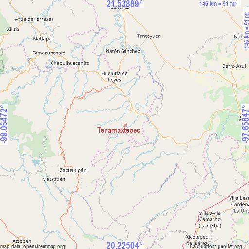
Tenamaxtepec GPS coordinates[2]
20° 53' 0.24" North, 98° 21' 41.724" West
| Map corner | latitude | longitude |
|---|---|---|
| Upper-left | 21.53889°, | -99.06472° |
| Center: | 20.8834°, | -98.36159° |
| Lower-right: | 20.22504°, | -97.65847° |
| Map W x H: | 146.1×146.1 km | = 90.8×90.8mi |
| max Lat: | 32.7° ⇑25.4% North |
| Tenamaxtepec: | 20.8834° |
| min Lat: | ⇓74.6% South 14.53588° |
| min Long | Tenamaxtepec | max Long |
| -117.105° | -98.36159° | -86.73105° |
| W 59.1%⇐ | ⇒40.9% E |
Elevation
Elevation of Tenamaxtepec is 681 m = 2234 ft, and this is 572.7 m = 1879 ft below average elevation for this country.
| Max E: |
3497 m = 11473 ft | 65.1% |
| Avg. | 1253.7 m = 4113 ft | |
| Tenamaxtepec | 681 m = 2234 ft | |
Min E: |
-1 m = -3 ft | 34.9% |
See also: Mexico elevation on elevation.city.
Geographical zone
Tenamaxtepec is located in North Torrid zone (between Equator and Tropic of Cancer). Distance of this Northern Tropic circle is 283.9 km =176.4 mi to North.| Distance of | km | miles | from Tenamaxtepec |
|---|---|---|---|
| North Pole | 7685 | 4775.2 | to North |
| Arctic Circle | 5079.2 | 3156.1 | to North |
| Tropic Cancer | 283.9 | 176.4 | to North |
| Equator | 2322 | 1442.8 | to South |


Nearby cities:
15 places around Tenamaxtepec: (largest is in red/bold)
• Aguacatitla
7.3 km =4.5 mi,  250°
250°
• Chiapa
5.6 km =3.5 mi,  91°
91°
• Chiatitla
3.9 km =2.4 mi,  50°
50°
• Huitztipan
5.2 km =3.2 mi,  181°
181°
• Mecatlán
7.2 km =4.5 mi,  323°
323°
• Oxeloco
5.4 km =3.4 mi,  43°
43°
• Pachiquita
5 km =3.1 mi,  146°
146°
• Pepeyocatitla
5.1 km =3.2 mi,  313°
313°
• Pocantla
6.7 km =4.2 mi,  131°
131°
• Pohuantitla
5.4 km =3.4 mi,  107°
107°
• Santa Teresa
2.4 km =1.5 mi,  287°
287°
• Tecacahuaco
6.9 km =4.3 mi,  20°
20°
• Tetla
4.2 km =2.6 mi,  3°
3°
• Tlatlazoquico
7 km =4.3 mi, 175°
• Xoxolpa
6.5 km =4 mi,  262°
262°
Sources, notices
• [Note1] Compared only with cities in Mexico existing in our database
• [Src1] Map data: © OpenStreetMap contributors (CC-BY-SA)
• [Src2] Other city data from geonames.org with taken over terms of usage.
• [Src3] Geographical zone / Annual Mean Temperature by Robert A. Rohde @ Wikipedia
