La Lima geodata
La Lima (Puebla) is a populated place; located in Mexico in America/Mexico_City (GMT-6) time zone. With population of 612 people, there are 14088 cities with bigger population in this country. Compared to other cities in Mexico, 60.5% of cities are located further ↓South; 70.5% of cities are located further ←West and 74.8% of cities have higher elevation than La Lima. Note1


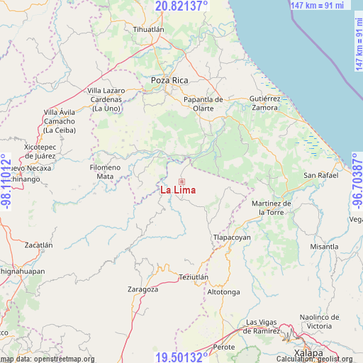
La Lima GPS coordinates[2]
20° 9' 45.864" North, 97° 24' 25.164" West
| Map corner | latitude | longitude |
|---|---|---|
| Upper-left | 20.82137°, | -98.11012° |
| Center: | 20.16274°, | -97.40699° |
| Lower-right: | 19.50132°, | -96.70387° |
| Map W x H: | 146.8×146.8 km | = 91.2×91.2mi |
| max Lat: | 32.7° ⇑39.5% North |
| La Lima: | 20.16274° |
| min Lat: | ⇓60.5% South 14.53588° |
| min Long | La Lima | max Long |
| -117.105° | -97.40699° | -86.73105° |
| W 70.5%⇐ | ⇒29.5% E |
Elevation
Elevation of La Lima is 228 m = 748 ft, and this is 1025.7 m = 3365 ft below average elevation for this country.
| Max E: |
3497 m = 11473 ft | 74.8% |
| Avg. | 1253.7 m = 4113 ft | |
| La Lima | 228 m = 748 ft | |
Min E: |
-1 m = -3 ft | 25.2% |
See also: Mexico elevation on elevation.city.
Geographical zone
La Lima is located in North Torrid zone (between Equator and Tropic of Cancer). Distance of this Northern Tropic circle is 364 km =226.2 mi to North.| Distance of | km | miles | from La Lima |
|---|---|---|---|
| North Pole | 7765.2 | 4825.1 | to North |
| Arctic Circle | 5159.3 | 3205.8 | to North |
| Tropic Cancer | 364 | 226.2 | to North |
| Equator | 2241.9 | 1393.1 | to South |


Nearby cities:
15 places around La Lima: (largest is in red/bold)
• Ayotoxco de Guerrero
7.4 km =4.6 mi,  182°
182°
• Buena Vista
6.2 km =3.9 mi,  231°
231°
• Comalteco
11.7 km =7.3 mi,  324°
324°
• Cuauhtapanaloyan
11.3 km =7 mi,  207°
207°
• El Chacal
8.6 km =5.3 mi, 319°
• El Ermitaño
12 km =7.5 mi,  294°
294°
• Espinal
10.6 km =6.6 mi,  3°
3°
• Gachupinate
5.3 km =3.3 mi, 175°
• Guadalupe Victoria
11.6 km =7.2 mi,  17°
17°
• San Antonio Rayón
9.7 km =6 mi, 234°
• Tacuapan
11.5 km =7.1 mi,  219°
219°
• Tecpantzingo
9.3 km =5.8 mi, 222°
• Tecuantepec
9.9 km =6.2 mi,  258°
258°
• Tenampulco
0.9 km =0.6 mi,  13°
13°
• Tenexate
5.6 km =3.5 mi,  112°
112°
Sources, notices
• [Note1] Compared only with cities in Mexico existing in our database
• [Src1] Map data: © OpenStreetMap contributors (CC-BY-SA)
• [Src2] Other city data from geonames.org with taken over terms of usage.
• [Src3] Geographical zone / Annual Mean Temperature by Robert A. Rohde @ Wikipedia
