Nuevo Israel geodata
Nuevo Israel (Jalisco) is a populated place; located in Mexico in America/Mexico_City (GMT-6) time zone. With population of 611 people, there are 14112 cities with bigger population in this country. Compared to other cities in Mexico, 71.6% of cities are located further ↓South; 86.9% of cities are located further →East and 50.2% of cities have lower elevation than Nuevo Israel. Note1


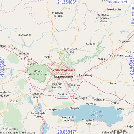
Nuevo Israel GPS coordinates[2]
20° 41' 53.988" North, 103° 16' 0.012" West
| Map corner | latitude | longitude |
|---|---|---|
| Upper-left | 21.35463°, | -103.9698° |
| Center: | 20.69833°, | -103.26667° |
| Lower-right: | 20.03917°, | -102.56355° |
| Map W x H: | 146.3×146.3 km | = 90.9×90.9mi |
| max Lat: | 32.7° ⇑28.4% North |
| Nuevo Israel: | 20.69833° |
| min Lat: | ⇓71.6% South 14.53588° |
| min Long | Nuevo Israel | max Long |
| -117.105° | -103.26667° | -86.73105° |
| W 13.1%⇐ | ⇒86.9% E |
Elevation
Elevation of Nuevo Israel is 1441 m = 4728 ft, and this is 187.3 m = 615 ft above average elevation for this country.
| Max E: |
3497 m = 11473 ft | 49.8% |
| Nuevo Israel | 1441 m 4728 ft | |
| Avg. | 1253.7 m = 4113 ft | |
Min E: |
-1 m = -3 ft | 50.2% |
See also: Mexico elevation on elevation.city.
Geographical zone
Nuevo Israel is located in North Torrid zone (between Equator and Tropic of Cancer). Distance of this Northern Tropic circle is 304.5 km =189.2 mi to North.| Distance of | km | miles | from Nuevo Israel |
|---|---|---|---|
| North Pole | 7705.6 | 4788 | to North |
| Arctic Circle | 5099.7 | 3168.8 | to North |
| Tropic Cancer | 304.5 | 189.2 | to North |
| Equator | 2301.4 | 1430 | to South |


Nearby cities:
15 places around Nuevo Israel: (largest is in red/bold)
• Coyula
6.1 km =3.8 mi,  136°
136°
• El Mirador
13.6 km =8.5 mi,  182°
182°
• Guadalajara
13.5 km =8.4 mi,  254°
254°
• Los Amiales
10.1 km =6.3 mi,  158°
158°
• Mascuala
7.9 km =4.9 mi,  351°
351°
• Matatlán
12.2 km =7.6 mi,  84°
84°
• Mismaloya (Fraccionamiento Pedregal de Santa Martha)
14.2 km =8.8 mi, 135°
• Paseo de las Cañadas
11.2 km =7 mi, 140°
• Residencias el Prado (Jardines del Prado)
5.2 km =3.2 mi,  106°
106°
• San Isidro
13.5 km =8.4 mi,  319°
319°
• Tlaquepaque
7 km =4.3 mi,  203°
203°
• Tonalá
8.9 km =5.5 mi, 157°
• Trejos
12.9 km =8 mi,  34°
34°
• Zapopan
12.6 km =7.8 mi,  282°
282°
• Zapopan2
14 km =8.7 mi, 278°
Sources, notices
• [Note1] Compared only with cities in Mexico existing in our database
• [Src1] Map data: © OpenStreetMap contributors (CC-BY-SA)
• [Src2] Other city data from geonames.org with taken over terms of usage.
• [Src3] Geographical zone / Annual Mean Temperature by Robert A. Rohde @ Wikipedia
