Timul geodata
Timul (Yucatán) is a populated place; located in Mexico in America/Merida (GMT-6) time zone. With population of 543 people, there are 15651 cities with bigger population in this country. Compared to other cities in Mexico, 63.7% of cities are located further ↓South; 98.8% of cities are located further ←West and 89% of cities have higher elevation than Timul. Note1


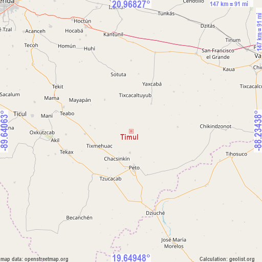
Timul GPS coordinates[2]
20° 18' 37.008" North, 88° 56' 15" West
| Map corner | latitude | longitude |
|---|---|---|
| Upper-left | 20.96827°, | -89.64063° |
| Center: | 20.31028°, | -88.9375° |
| Lower-right: | 19.64948°, | -88.23438° |
| Map W x H: | 146.6×146.6 km | = 91.1×91.1mi |
| max Lat: | 32.7° ⇑36.3% North |
| Timul: | 20.31028° |
| min Lat: | ⇓63.7% South 14.53588° |
| min Long | Timul | max Long |
| -117.105° | -88.9375° | -86.73105° |
| W 98.8%⇐ | ⇒1.2% E |
Elevation
Elevation of Timul is 27 m = 89 ft, and this is 1226.7 m = 4025 ft below average elevation for this country.
| Max E: |
3497 m = 11473 ft | 89% |
| Avg. | 1253.7 m = 4113 ft | |
| Timul | 27 m = 89 ft | |
Min E: |
-1 m = -3 ft | 11% |
See also: Mexico elevation on elevation.city.
Geographical zone
Timul is located in North Torrid zone (between Equator and Tropic of Cancer). Distance of this Northern Tropic circle is 347.6 km =216 mi to North.| Distance of | km | miles | from Timul |
|---|---|---|---|
| North Pole | 7748.8 | 4814.9 | to North |
| Arctic Circle | 5142.9 | 3195.6 | to North |
| Tropic Cancer | 347.6 | 216 | to North |
| Equator | 2258.3 | 1403.2 | to South |


Nearby cities:
15 places around Timul: (largest is in red/bold)
• Cantamayec
23.3 km =14.5 mi,  319°
319°
• Chacsinkin
17.4 km =10.8 mi,  208°
208°
• Chican
23.2 km =14.4 mi,  277°
277°
• Ek-Balam
24.7 km =15.3 mi, 212°
• Kimbila
15.5 km =9.6 mi,  264°
264°
• Kinil
20.4 km =12.7 mi,  274°
274°
• Peto
20.4 km =12.7 mi,  175°
175°
• Sabacché
9.4 km =5.8 mi, 273°
• Tahdzibichen
19 km =11.8 mi,  35°
35°
• Tahdziu
11.7 km =7.3 mi, 184°
• Tiholop
26 km =16.2 mi,  84°
84°
• Tixcacaltuyub
20.5 km =12.7 mi,  6°
6°
• Tixmehuac
19.6 km =12.2 mi,  245°
245°
• Xaya
26 km =16.2 mi, 266°
• Xoy
21 km =13 mi,  189°
189°
Sources, notices
• [Note1] Compared only with cities in Mexico existing in our database
• [Src1] Map data: © OpenStreetMap contributors (CC-BY-SA)
• [Src2] Other city data from geonames.org with taken over terms of usage.
• [Src3] Geographical zone / Annual Mean Temperature by Robert A. Rohde @ Wikipedia
