Tahdzibichen geodata
Tahdzibichen (Yucatán) is a populated place; located in Mexico in America/Merida (GMT-6) time zone. With population of 1,699 people, there are 5113 cities with bigger population in this country. Compared to other cities in Mexico, 66.7% of cities are located further ↓South; 98.9% of cities are located further ←West and 90% of cities have higher elevation than Tahdzibichen. Note1


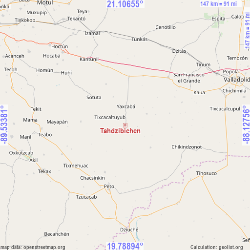
Tahdzibichen GPS coordinates[2]
20° 26' 56.976" North, 88° 49' 50.448" West
| Map corner | latitude | longitude |
|---|---|---|
| Upper-left | 21.10655°, | -89.53381° |
| Center: | 20.44916°, | -88.83068° |
| Lower-right: | 19.78894°, | -88.12756° |
| Map W x H: | 146.5×146.5 km | = 91×91mi |
| max Lat: | 32.7° ⇑33.3% North |
| Tahdzibichen: | 20.44916° |
| min Lat: | ⇓66.7% South 14.53588° |
| min Long | Tahdzibichen | max Long |
| -117.105° | -88.83068° | -86.73105° |
| W 98.9%⇐ | ⇒1.1% E |
Elevation
Elevation of Tahdzibichen is 24 m = 79 ft, and this is 1229.7 m = 4034 ft below average elevation for this country.
| Max E: |
3497 m = 11473 ft | 90% |
| Avg. | 1253.7 m = 4113 ft | |
| Tahdzibichen | 24 m = 79 ft | |
Min E: |
-1 m = -3 ft | 10% |
See also: Mexico elevation on elevation.city.
Geographical zone
Tahdzibichen is located in North Torrid zone (between Equator and Tropic of Cancer). Distance of this Northern Tropic circle is 332.2 km =206.4 mi to North.| Distance of | km | miles | from Tahdzibichen |
|---|---|---|---|
| North Pole | 7733.3 | 4805.2 | to North |
| Arctic Circle | 5127.4 | 3186 | to North |
| Tropic Cancer | 332.2 | 206.4 | to North |
| Equator | 2273.7 | 1412.8 | to South |


Nearby cities:
15 places around Tahdzibichen: (largest is in red/bold)
• Cantamayec
26.3 km =16.3 mi,  275°
275°
• Kancabdzonot
14.2 km =8.8 mi,  61°
61°
• Libre Unión
28.7 km =17.8 mi,  4°
4°
• Sabacché
25.3 km =15.7 mi,  234°
234°
• Sotuta
24.7 km =15.3 mi,  311°
311°
• Tabi
18.1 km =11.2 mi,  337°
337°
• Tahdziu
29.7 km =18.5 mi,  203°
203°
• Tibolón
26.6 km =16.5 mi,  334°
334°
• Tiholop
19.6 km =12.2 mi,  131°
131°
• Timul
19 km =11.8 mi,  215°
215°
• Tixcacaltuyub
10.2 km =6.3 mi,  298°
298°
• Xcalak Dzonot
27.3 km =17 mi,  92°
92°
• Xcopteil
26.9 km =16.7 mi,  74°
74°
• Yaxcabá
11 km =6.8 mi, 1°
• Yaxunah
19.1 km =11.9 mi, 57°
Sources, notices
• [Note1] Compared only with cities in Mexico existing in our database
• [Src1] Map data: © OpenStreetMap contributors (CC-BY-SA)
• [Src2] Other city data from geonames.org with taken over terms of usage.
• [Src3] Geographical zone / Annual Mean Temperature by Robert A. Rohde @ Wikipedia
