Port Harcourt geodata
Port Harcourt (Rivers) is a seat of a first-order administrative division; located in Nigeria in Africa/Lagos (GMT+1) time zone. With population of 1,148,665 people, there are 4 cities with bigger population in this country. Compared to other cities in Nigeria, 97% of cities are located further ↑North; 56.6% of cities are located further →East and 93.6% of cities have higher elevation than Port Harcourt. Note1


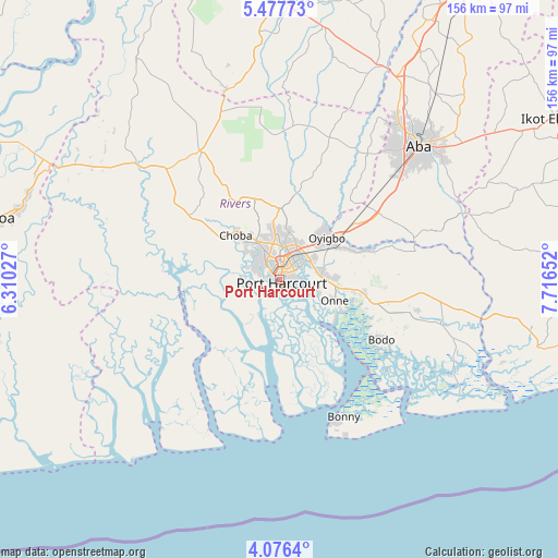
Port Harcourt GPS coordinates[2]
4° 46' 38.712" North, 7° 0' 48.24" East
| Map corner | latitude | longitude |
|---|---|---|
| Upper-left | 5.47773°, | 6.31027° |
| Center: | 4.77742°, | 7.0134° |
| Lower-right: | 4.0764°, | 7.71652° |
| Map W x H: | 155.8×155.8 km | = 96.8×96.8mi |
| max Lat: | 13.7543° ⇑97% North |
| Port Harcourt: | 4.77742° |
| min Lat: | ⇓3% South 4.31231° |
| min Long | Port Harcourt | max Long |
| 2.73333° | 7.0134° | 14.46552° |
| W 43.4%⇐ | ⇒56.6% E |
Elevation
Elevation of Port Harcourt is 16 m = 52 ft, and this is 280.5 m = 920 ft below average elevation for this country.
| Max E: |
1599 m = 5246 ft | 93.6% |
| Avg. | 296.5 m = 973 ft | |
| Port Harcourt | 16 m = 52 ft | |
Min E: |
2 m = 7 ft | 6.4% |
See also: Port Harcourt elevation on elevation.city.
Geographical zone
Port Harcourt is located in North Torrid zone (between Equator and Tropic of Cancer). Distance of Equator is 531.2 km =330.1 mi to South.| Distance of | km | miles | from Port Harcourt |
|---|---|---|---|
| North Pole | 9475.9 | 5888 | to North |
| Arctic Circle | 6870 | 4268.8 | to North |
| Tropic Cancer | 2074.7 | 1289.2 | to North |
| Equator | 531.2 | 330.1 | to South |


Nearby cities:
15 places around Port Harcourt: (largest is in red/bold)
• Abonnema
27.2 km =16.9 mi,  259°
259°
• Afam
33.1 km =20.6 mi,  87°
87°
• Buguma
17.4 km =10.8 mi,  254°
254°
• Degema
27.6 km =17.1 mi, 263°
• Degema Hulk
29.3 km =18.2 mi,  266°
266°
• Emuoha
20.7 km =12.9 mi,  304°
304°
• Isiokpo
29.5 km =18.3 mi,  328°
328°
• Kpor
33 km =20.5 mi,  114°
114°
• Nchia
12 km =7.5 mi,  81°
81°
• Obonoma
25.7 km =16 mi, 253°
• Ogu
21.4 km =13.3 mi, 106°
• Oke-Ikpe
37.1 km =23.1 mi,  66°
66°
• Okrika
8.7 km =5.4 mi,  116°
116°
• Rumuodomaya
12.9 km =8 mi,  354°
354°
• Saakpenwa
28.5 km =17.7 mi,  103°
103°
Sources, notices
• [Note1] Compared only with cities in Nigeria existing in our database
• [Src1] Map data: © OpenStreetMap contributors (CC-BY-SA)
• [Src2] Other city data from geonames.org with taken over terms of usage.
• [Src3] Geographical zone / Annual Mean Temperature by Robert A. Rohde @ Wikipedia
