Obonoma geodata
Obonoma (Rivers) is a populated place; located in Nigeria in Africa/Lagos (GMT+1) time zone. With population of 68,584 people, there are 138 cities with bigger population in this country. Compared to other cities in Nigeria, 98.3% of cities are located further ↑North; 60.7% of cities are located further →East and 99.1% of cities have higher elevation than Obonoma. Note1


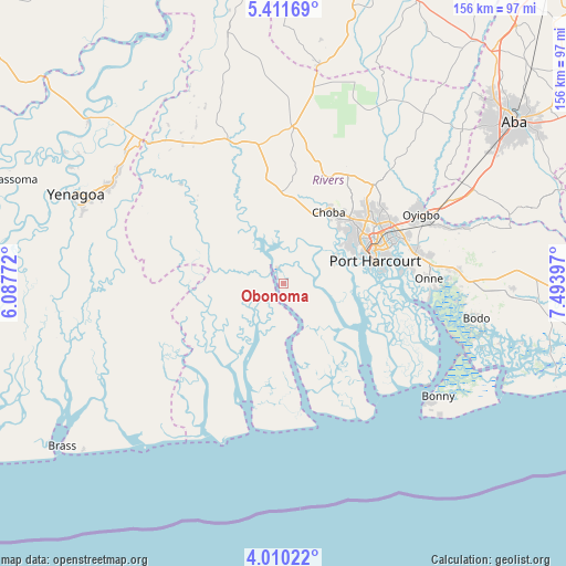
Obonoma GPS coordinates[2]
4° 42' 40.716" North, 6° 47' 27.024" East
| Map corner | latitude | longitude |
|---|---|---|
| Upper-left | 5.41169°, | 6.08772° |
| Center: | 4.71131°, | 6.79084° |
| Lower-right: | 4.01022°, | 7.49397° |
| Map W x H: | 155.8×155.8 km | = 96.8×96.8mi |
| max Lat: | 13.7543° ⇑98.3% North |
| Obonoma: | 4.71131° |
| min Lat: | ⇓1.7% South 4.31231° |
| min Long | Obonoma | max Long |
| 2.73333° | 6.79084° | 14.46552° |
| W 39.3%⇐ | ⇒60.7% E |
Elevation
Elevation of Obonoma is 6 m = 20 ft, and this is 290.5 m = 953 ft below average elevation for this country.
| Max E: |
1599 m = 5246 ft | 99.1% |
| Avg. | 296.5 m = 973 ft | |
| Obonoma | 6 m = 20 ft | |
Min E: |
2 m = 7 ft | 0.9% |
See also: Obonoma elevation on elevation.city.
Geographical zone
Obonoma is located in North Torrid zone (between Equator and Tropic of Cancer). Distance of Equator is 523.8 km =325.5 mi to South.| Distance of | km | miles | from Obonoma |
|---|---|---|---|
| North Pole | 9483.2 | 5892.6 | to North |
| Arctic Circle | 6877.3 | 4273.4 | to North |
| Tropic Cancer | 2082.1 | 1293.8 | to North |
| Equator | 523.8 | 325.5 | to South |


Nearby cities:
15 places around Obonoma: (largest is in red/bold)
• Abonnema
3.1 km =1.9 mi,  317°
317°
• Abua
22.9 km =14.2 mi, 315°
• Ahoada
44.2 km =27.5 mi,  339°
339°
• Buguma
8.4 km =5.2 mi,  70°
70°
• Degema
4.9 km =3 mi,  326°
326°
• Degema Hulk
7.2 km =4.5 mi, 320°
• Elele
43.4 km =27 mi,  3°
3°
• Emuoha
20.7 km =12.9 mi,  21°
21°
• Isiokpo
33.6 km =20.9 mi, 15°
• Nchia
37.7 km =23.4 mi,  76°
76°
• Nembe
47.1 km =29.3 mi,  245°
245°
• Ogu
45.2 km =28.1 mi,  88°
88°
• Okrika
32.6 km =20.3 mi, 83°
• Port Harcourt
25.7 km =16 mi, 73°
• Rumuodomaya
31 km =19.3 mi,  49°
49°
Sources, notices
• [Note1] Compared only with cities in Nigeria existing in our database
• [Src1] Map data: © OpenStreetMap contributors (CC-BY-SA)
• [Src2] Other city data from geonames.org with taken over terms of usage.
• [Src3] Geographical zone / Annual Mean Temperature by Robert A. Rohde @ Wikipedia
