Pindiga geodata
Pindiga (Gombe) is a populated place; located in Nigeria in Africa/Lagos (GMT+1) time zone. With population of 106,322 people, there are 82 cities with bigger population in this country. Compared to other cities in Nigeria, 64.2% of cities are located further ↓South; 88.7% of cities are located further ←West and 83.4% of cities have lower elevation than Pindiga. Note1


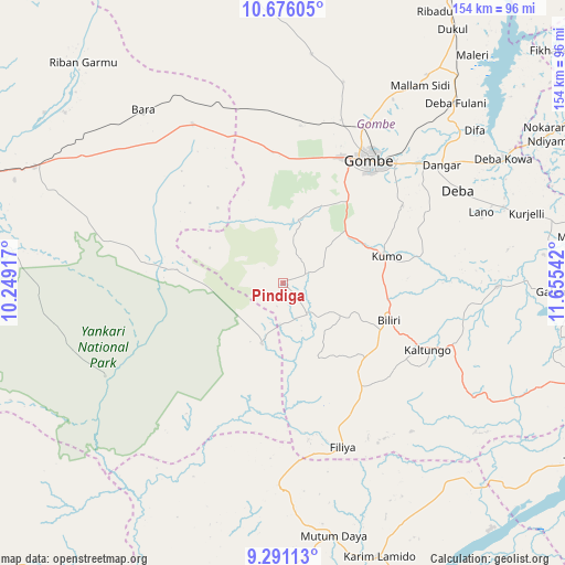
Pindiga GPS coordinates[2]
9° 59' 3.588" North, 10° 57' 8.244" East
| Map corner | latitude | longitude |
|---|---|---|
| Upper-left | 10.67605°, | 10.24917° |
| Center: | 9.98433°, | 10.95229° |
| Lower-right: | 9.29113°, | 11.65542° |
| Map W x H: | 154×154 km | = 95.7×95.7mi |
| max Lat: | 13.7543° ⇑35.8% North |
| Pindiga: | 9.98433° |
| min Lat: | ⇓64.2% South 4.31231° |
| min Long | Pindiga | max Long |
| 2.73333° | 10.95229° | 14.46552° |
| W 88.7%⇐ | ⇒11.3% E |
Elevation
Elevation of Pindiga is 490 m = 1608 ft, and this is 193.5 m = 635 ft above average elevation for this country.
| Max E: |
1599 m = 5246 ft | 16.6% |
| Pindiga | 490 m 1608 ft | |
| Avg. | 296.5 m = 973 ft | |
Min E: |
2 m = 7 ft | 83.4% |
See also: Pindiga elevation on elevation.city.
Geographical zone
Pindiga is located in North Torrid zone (between Equator and Tropic of Cancer). Distance of Equator is 1110.2 km =689.8 mi to South.| Distance of | km | miles | from Pindiga |
|---|---|---|---|
| North Pole | 8896.9 | 5528.3 | to North |
| Arctic Circle | 6291 | 3909 | to North |
| Tropic Cancer | 1495.8 | 929.4 | to North |
| Equator | 1110.2 | 689.8 | to South |


Nearby cities:
15 places around Pindiga: (largest is in red/bold)
• Akko
34 km =21.1 mi,  3°
3°
• Alkaleri
74.8 km =46.5 mi,  294°
294°
• Bara
49.8 km =30.9 mi,  330°
330°
• Billiri
30.9 km =19.2 mi,  109°
109°
• Billiri
32.8 km =20.4 mi, 113°
• Boh
42.3 km =26.3 mi,  122°
122°
• Dadiya
66.7 km =41.4 mi,  127°
127°
• Deba
53.9 km =33.5 mi,  62°
62°
• Garko
31.5 km =19.6 mi,  47°
47°
• Gombe
41.3 km =25.7 mi,  34°
34°
• Hinna
69.6 km =43.2 mi, 59°
• Kafarati
47 km =29.2 mi,  19°
19°
• Kaltungo
43.1 km =26.8 mi, 115°
• Kumo
29.2 km =18.1 mi,  75°
75°
• Mallam Sidi
65.5 km =40.7 mi, 34°
Sources, notices
• [Note1] Compared only with cities in Nigeria existing in our database
• [Src1] Map data: © OpenStreetMap contributors (CC-BY-SA)
• [Src2] Other city data from geonames.org with taken over terms of usage.
• [Src3] Geographical zone / Annual Mean Temperature by Robert A. Rohde @ Wikipedia
