Kaltungo geodata
Kaltungo (Gombe) is a seat of a second-order administrative division; located in Nigeria in Africa/Lagos (GMT+1) time zone. With population of 12,357 people, there are 292 cities with bigger population in this country. Compared to other cities in Nigeria, 62.4% of cities are located further ↓South; 90.9% of cities are located further ←West and 83% of cities have lower elevation than Kaltungo. Note1


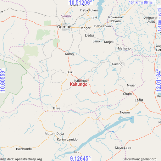
Kaltungo GPS coordinates[2]
9° 49' 11.928" North, 11° 18' 31.356" East
| Map corner | latitude | longitude |
|---|---|---|
| Upper-left | 10.51206°, | 10.60559° |
| Center: | 9.81998°, | 11.30871° |
| Lower-right: | 9.12645°, | 12.01184° |
| Map W x H: | 154.1×154.1 km | = 95.8×95.8mi |
| max Lat: | 13.7543° ⇑37.6% North |
| Kaltungo: | 9.81998° |
| min Lat: | ⇓62.4% South 4.31231° |
| min Long | Kaltungo | max Long |
| 2.73333° | 11.30871° | 14.46552° |
| W 90.9%⇐ | ⇒9.1% E |
Elevation
Elevation of Kaltungo is 489 m = 1604 ft, and this is 192.5 m = 632 ft above average elevation for this country.
| Max E: |
1599 m = 5246 ft | 17% |
| Kaltungo | 489 m 1604 ft | |
| Avg. | 296.5 m = 973 ft | |
Min E: |
2 m = 7 ft | 83% |
See also: Nigeria elevation on elevation.city.
Geographical zone
Kaltungo is located in North Torrid zone (between Equator and Tropic of Cancer). Distance of Equator is 1091.9 km =678.5 mi to South.| Distance of | km | miles | from Kaltungo |
|---|---|---|---|
| North Pole | 8915.2 | 5539.6 | to North |
| Arctic Circle | 6309.3 | 3920.4 | to North |
| Tropic Cancer | 1514 | 940.8 | to North |
| Equator | 1091.9 | 678.5 | to South |


Nearby cities:
15 places around Kaltungo: (largest is in red/bold)
• Akko
63.8 km =39.6 mi,  324°
324°
• Billiri
10.4 km =6.5 mi,  299°
299°
• Billiri
12.6 km =7.8 mi,  308°
308°
• Boh
5.4 km =3.4 mi,  217°
217°
• Dadiya
26.4 km =16.4 mi,  148°
148°
• Deba
44.4 km =27.6 mi,  11°
11°
• Garko
42.5 km =26.4 mi,  338°
338°
• Gombe
54.5 km =33.9 mi, 343°
• Hinna
57.7 km =35.9 mi,  21°
21°
• Kafarati
66.8 km =41.5 mi, 339°
• Karim Lamido
57.8 km =35.9 mi,  193°
193°
• Kumo
27.5 km =17.1 mi, 337°
• Lamurde
58.1 km =36.1 mi,  113°
113°
• Pindiga
43.1 km =26.8 mi, 295°
• Talasse
43.8 km =27.2 mi,  67°
67°
Sources, notices
• [Note1] Compared only with cities in Nigeria existing in our database
• [Src1] Map data: © OpenStreetMap contributors (CC-BY-SA)
• [Src2] Other city data from geonames.org with taken over terms of usage.
• [Src3] Geographical zone / Annual Mean Temperature by Robert A. Rohde @ Wikipedia
