Garko geodata
Garko (Gombe) is a populated place; located in Nigeria in Africa/Lagos (GMT+1) time zone. With population of 21,141 people, there are 194 cities with bigger population in this country. Compared to other cities in Nigeria, 65.4% of cities are located further ↓South; 89.6% of cities are located further ←West and 79.8% of cities have lower elevation than Garko. Note1


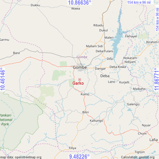
Garko GPS coordinates[2]
10° 10' 30.216" North, 11° 9' 52.488" East
| Map corner | latitude | longitude |
|---|---|---|
| Upper-left | 10.86636°, | 10.46146° |
| Center: | 10.17506°, | 11.16458° |
| Lower-right: | 9.48226°, | 11.86771° |
| Map W x H: | 153.9×153.9 km | = 95.6×95.6mi |
| max Lat: | 13.7543° ⇑34.6% North |
| Garko: | 10.17506° |
| min Lat: | ⇓65.4% South 4.31231° |
| min Long | Garko | max Long |
| 2.73333° | 11.16458° | 14.46552° |
| W 89.6%⇐ | ⇒10.4% E |
Elevation
Elevation of Garko is 470 m = 1542 ft, and this is 173.5 m = 569 ft above average elevation for this country.
| Max E: |
1599 m = 5246 ft | 20.2% |
| Garko | 470 m 1542 ft | |
| Avg. | 296.5 m = 973 ft | |
Min E: |
2 m = 7 ft | 79.8% |
See also: Nigeria elevation on elevation.city.
Geographical zone
Garko is located in North Torrid zone (between Equator and Tropic of Cancer). Distance of Equator is 1131.4 km =703 mi to South.| Distance of | km | miles | from Garko |
|---|---|---|---|
| North Pole | 8875.7 | 5515.1 | to North |
| Arctic Circle | 6269.8 | 3895.9 | to North |
| Tropic Cancer | 1474.6 | 916.3 | to North |
| Equator | 1131.4 | 703 | to South |


Nearby cities:
15 places around Garko: (largest is in red/bold)
• Akko
24.5 km =15.2 mi,  301°
301°
• Bara
52.6 km =32.7 mi,  294°
294°
• Billiri
32.2 km =20 mi,  169°
169°
• Billiri
35.1 km =21.8 mi, 168°
• Boh
45.5 km =28.3 mi,  164°
164°
• Briyel
52.4 km =32.6 mi,  68°
68°
• Deba
24.7 km =15.3 mi,  80°
80°
• Gombe
12.7 km =7.9 mi,  1°
1°
• Hinna
39.3 km =24.4 mi, 68°
• Kafarati
24.3 km =15.1 mi,  341°
341°
• Kaltungo
42.5 km =26.4 mi, 158°
• Kumo
15 km =9.3 mi, 160°
• Mallam Sidi
35.5 km =22.1 mi,  23°
23°
• Pindiga
31.5 km =19.6 mi,  227°
227°
• Talasse
60.9 km =37.8 mi,  112°
112°
Sources, notices
• [Note1] Compared only with cities in Nigeria existing in our database
• [Src1] Map data: © OpenStreetMap contributors (CC-BY-SA)
• [Src2] Other city data from geonames.org with taken over terms of usage.
• [Src3] Geographical zone / Annual Mean Temperature by Robert A. Rohde @ Wikipedia
