Omoku geodata
Omoku (Rivers) is a seat of a second-order administrative division; located in Nigeria in Africa/Lagos (GMT+1) time zone. With population of 11,625 people, there are 310 cities with bigger population in this country. Compared to other cities in Nigeria, 91.3% of cities are located further ↑North; 62.8% of cities are located further →East and 92.9% of cities have higher elevation than Omoku. Note1


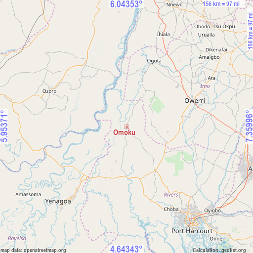
Omoku GPS coordinates[2]
5° 20' 37.968" North, 6° 39' 24.624" East
| Map corner | latitude | longitude |
|---|---|---|
| Upper-left | 6.04353°, | 5.95371° |
| Center: | 5.34388°, | 6.65684° |
| Lower-right: | 4.64343°, | 7.35996° |
| Map W x H: | 155.7×155.7 km | = 96.7×96.7mi |
| max Lat: | 13.7543° ⇑91.3% North |
| Omoku: | 5.34388° |
| min Lat: | ⇓8.7% South 4.31231° |
| min Long | Omoku | max Long |
| 2.73333° | 6.65684° | 14.46552° |
| W 37.2%⇐ | ⇒62.8% E |
Elevation
Elevation of Omoku is 18 m = 59 ft, and this is 278.5 m = 914 ft below average elevation for this country.
| Max E: |
1599 m = 5246 ft | 92.9% |
| Avg. | 296.5 m = 973 ft | |
| Omoku | 18 m = 59 ft | |
Min E: |
2 m = 7 ft | 7.1% |
See also: Nigeria elevation on elevation.city.
Geographical zone
Omoku is located in North Torrid zone (between Equator and Tropic of Cancer). Distance of Equator is 594.2 km =369.2 mi to South.| Distance of | km | miles | from Omoku |
|---|---|---|---|
| North Pole | 9412.9 | 5848.9 | to North |
| Arctic Circle | 6807 | 4229.7 | to North |
| Tropic Cancer | 2011.7 | 1250 | to North |
| Equator | 594.2 | 369.2 | to South |


Nearby cities:
15 places around Omoku: (largest is in red/bold)
• Aboh
26.9 km =16.7 mi,  327°
327°
• Ahoada
29 km =18 mi,  181°
181°
• Akinima
35.7 km =22.2 mi,  216°
216°
• Egbema
25.1 km =15.6 mi,  27°
27°
• Elele
32.1 km =19.9 mi,  147°
147°
• Isiokpo
44.9 km =27.9 mi, 147°
• Kaiama
46.6 km =29 mi,  237°
237°
• Kwale
47.4 km =29.5 mi, 328°
• Mgbidi
50.2 km =31.2 mi, 30°
• Nwaorieubi
47.8 km =29.7 mi,  56°
56°
• Oguta
44.1 km =27.4 mi,  22°
22°
• Oleh
51.6 km =32.1 mi,  284°
284°
• Orodo
51.5 km =32 mi,  53°
53°
• Owerri
44.5 km =27.7 mi,  69°
69°
• Umuguma
36.9 km =22.9 mi, 68°
Sources, notices
• [Note1] Compared only with cities in Nigeria existing in our database
• [Src1] Map data: © OpenStreetMap contributors (CC-BY-SA)
• [Src2] Other city data from geonames.org with taken over terms of usage.
• [Src3] Geographical zone / Annual Mean Temperature by Robert A. Rohde @ Wikipedia
