Oguta geodata
Oguta (Imo) is a seat of a second-order administrative division; located in Nigeria in Africa/Lagos (GMT+1) time zone. With population of 21,639 people, there are 191 cities with bigger population in this country. Compared to other cities in Nigeria, 87.5% of cities are located further ↑North; 60.4% of cities are located further →East and 90.8% of cities have higher elevation than Oguta. Note1


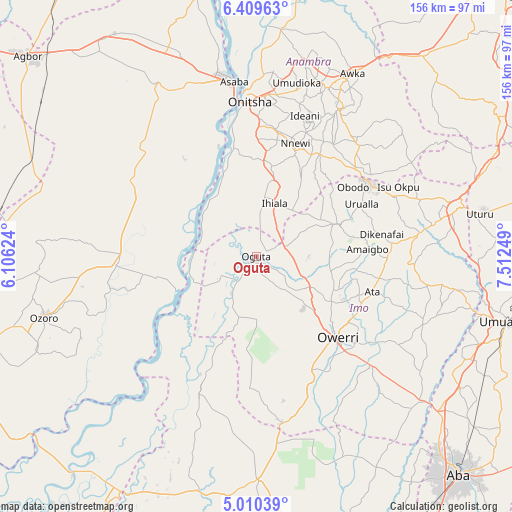
Oguta GPS coordinates[2]
5° 42' 37.584" North, 6° 48' 33.696" East
| Map corner | latitude | longitude |
|---|---|---|
| Upper-left | 6.40963°, | 6.10624° |
| Center: | 5.71044°, | 6.80936° |
| Lower-right: | 5.01039°, | 7.51249° |
| Map W x H: | 155.6×155.6 km | = 96.7×96.7mi |
| max Lat: | 13.7543° ⇑87.5% North |
| Oguta: | 5.71044° |
| min Lat: | ⇓12.5% South 4.31231° |
| min Long | Oguta | max Long |
| 2.73333° | 6.80936° | 14.46552° |
| W 39.6%⇐ | ⇒60.4% E |
Elevation
Elevation of Oguta is 26 m = 85 ft, and this is 270.5 m = 887 ft below average elevation for this country.
| Max E: |
1599 m = 5246 ft | 90.8% |
| Avg. | 296.5 m = 973 ft | |
| Oguta | 26 m = 85 ft | |
Min E: |
2 m = 7 ft | 9.2% |
See also: Nigeria elevation on elevation.city.
Geographical zone
Oguta is located in North Torrid zone (between Equator and Tropic of Cancer). Distance of Equator is 634.9 km =394.5 mi to South.| Distance of | km | miles | from Oguta |
|---|---|---|---|
| North Pole | 9372.1 | 5823.6 | to North |
| Arctic Circle | 6766.2 | 4204.3 | to North |
| Tropic Cancer | 1971 | 1224.7 | to North |
| Equator | 634.9 | 394.5 | to South |


Nearby cities:
15 places around Oguta: (largest is in red/bold)
• Awo-Idemili
18.9 km =11.7 mi,  46°
46°
• Egbema
19.2 km =11.9 mi,  196°
196°
• Ihiala
17 km =10.6 mi,  19°
19°
• Mgbidi
9.1 km =5.7 mi,  74°
74°
• Nkwerre
33 km =20.5 mi,  80°
80°
• Nnenasa
22.7 km =14.1 mi, 83°
• Nwaorieubi
27 km =16.8 mi,  121°
121°
• Orlu
26.7 km =16.6 mi, 69°
• Orodo
26.9 km =16.7 mi,  112°
112°
• Ozubulu
27.9 km =17.3 mi,  9°
9°
• Ukpor
29 km =18 mi,  27°
27°
• Umuguma
32.1 km =19.9 mi,  147°
147°
• Umumma
16 km =9.9 mi, 71°
• Umundugba
29.3 km =18.2 mi,  97°
97°
• Uruobo-Okija
21.4 km =13.3 mi, 10°
Sources, notices
• [Note1] Compared only with cities in Nigeria existing in our database
• [Src1] Map data: © OpenStreetMap contributors (CC-BY-SA)
• [Src2] Other city data from geonames.org with taken over terms of usage.
• [Src3] Geographical zone / Annual Mean Temperature by Robert A. Rohde @ Wikipedia
