Langtang geodata
Langtang (Plateau) is a seat of a second-order administrative division; located in Nigeria in Africa/Lagos (GMT+1) time zone. With population of 13,172 people, there are 270 cities with bigger population in this country. Compared to other cities in Nigeria, 56.4% of cities are located further ↓South; 83.1% of cities are located further ←West and 57.3% of cities have lower elevation than Langtang. Note1


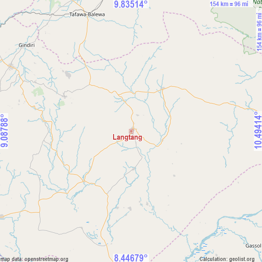
Langtang GPS coordinates[2]
9° 8' 29.904" North, 9° 47' 27.636" East
| Map corner | latitude | longitude |
|---|---|---|
| Upper-left | 9.83514°, | 9.08788° |
| Center: | 9.14164°, | 9.79101° |
| Lower-right: | 8.44679°, | 10.49414° |
| Map W x H: | 154.4×154.4 km | = 95.9×95.9mi |
| max Lat: | 13.7543° ⇑43.6% North |
| Langtang: | 9.14164° |
| min Lat: | ⇓56.4% South 4.31231° |
| min Long | Langtang | max Long |
| 2.73333° | 9.79101° | 14.46552° |
| W 83.1%⇐ | ⇒16.9% E |
Elevation
Elevation of Langtang is 328 m = 1076 ft, and this is 31.5 m = 103 ft above average elevation for this country.
| Max E: |
1599 m = 5246 ft | 42.7% |
| Langtang | 328 m 1076 ft | |
| Avg. | 296.5 m = 973 ft | |
Min E: |
2 m = 7 ft | 57.3% |
See also: Nigeria elevation on elevation.city.
Geographical zone
Langtang is located in North Torrid zone (between Equator and Tropic of Cancer). Distance of Equator is 1016.5 km =631.6 mi to South.| Distance of | km | miles | from Langtang |
|---|---|---|---|
| North Pole | 8990.6 | 5586.5 | to North |
| Arctic Circle | 6384.7 | 3967.3 | to North |
| Tropic Cancer | 1589.5 | 987.7 | to North |
| Equator | 1016.5 | 631.6 | to South |


Nearby cities:
15 places around Langtang: (largest is in red/bold)
• Amper
25.7 km =16 mi,  337°
337°
• Baap
64.3 km =40 mi,  249°
249°
• Bogoro
62.1 km =38.6 mi, 340°
• Boi
56.4 km =35 mi,  325°
325°
• Dengi
31.5 km =19.6 mi,  36°
36°
• Kwal
31.7 km =19.7 mi,  323°
323°
• Kwolla
61 km =37.9 mi,  244°
244°
• Mabudi
45.7 km =28.4 mi,  180°
180°
• Pankshin
44.1 km =27.4 mi,  297°
297°
• Panyam
69.8 km =43.4 mi, 295°
• Shendam
40.6 km =25.2 mi,  223°
223°
• Tafawa Balewa
73.6 km =45.7 mi, 339°
• Tunkus
23.6 km =14.7 mi, 235°
• Wase
18.9 km =11.7 mi,  106°
106°
• Yelwa
38.4 km =23.9 mi,  206°
206°
Sources, notices
• [Note1] Compared only with cities in Nigeria existing in our database
• [Src1] Map data: © OpenStreetMap contributors (CC-BY-SA)
• [Src2] Other city data from geonames.org with taken over terms of usage.
• [Src3] Geographical zone / Annual Mean Temperature by Robert A. Rohde @ Wikipedia
