Amper geodata
Amper (Plateau) is a populated place; located in Nigeria in Africa/Lagos (GMT+1) time zone. With population of 12,212 people, there are 293 cities with bigger population in this country. Compared to other cities in Nigeria, 58.2% of cities are located further ↓South; 82.1% of cities are located further ←West and 79% of cities have lower elevation than Amper. Note1


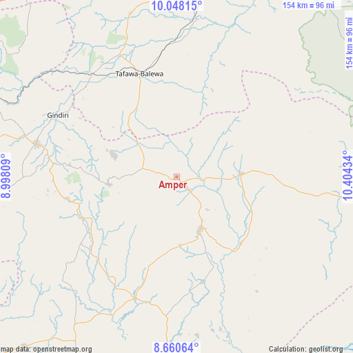
Amper GPS coordinates[2]
9° 21' 18.324" North, 9° 42' 4.356" East
| Map corner | latitude | longitude |
|---|---|---|
| Upper-left | 10.04815°, | 8.99809° |
| Center: | 9.35509°, | 9.70121° |
| Lower-right: | 8.66064°, | 10.40434° |
| Map W x H: | 154.3×154.3 km | = 95.9×95.9mi |
| max Lat: | 13.7543° ⇑41.8% North |
| Amper: | 9.35509° |
| min Lat: | ⇓58.2% South 4.31231° |
| min Long | Amper | max Long |
| 2.73333° | 9.70121° | 14.46552° |
| W 82.1%⇐ | ⇒17.9% E |
Elevation
Elevation of Amper is 461 m = 1512 ft, and this is 164.5 m = 540 ft above average elevation for this country.
| Max E: |
1599 m = 5246 ft | 21% |
| Amper | 461 m 1512 ft | |
| Avg. | 296.5 m = 973 ft | |
Min E: |
2 m = 7 ft | 79% |
See also: Nigeria elevation on elevation.city.
Geographical zone
Amper is located in North Torrid zone (between Equator and Tropic of Cancer). Distance of Equator is 1040.2 km =646.4 mi to South.| Distance of | km | miles | from Amper |
|---|---|---|---|
| North Pole | 8966.9 | 5571.8 | to North |
| Arctic Circle | 6361 | 3952.5 | to North |
| Tropic Cancer | 1565.7 | 972.9 | to North |
| Equator | 1040.2 | 646.4 | to South |


Nearby cities:
15 places around Amper: (largest is in red/bold)
• Bogoro
36.5 km =22.7 mi,  343°
343°
• Boi
31.7 km =19.7 mi,  316°
316°
• Bununu
58.7 km =36.5 mi,  357°
357°
• Dengi
28.7 km =17.8 mi,  86°
86°
• Kwal
9.2 km =5.7 mi,  281°
281°
• Kwolla
67.4 km =41.9 mi,  221°
221°
• Langtang
25.7 km =16 mi,  157°
157°
• Lere
55.9 km =34.7 mi,  314°
314°
• Pankshin
29.4 km =18.3 mi,  263°
263°
• Panyam
53.7 km =33.4 mi, 276°
• Shendam
56 km =34.8 mi,  199°
199°
• Tafawa Balewa
47.9 km =29.8 mi, 340°
• Tunkus
38.3 km =23.8 mi,  194°
194°
• Wase
40.3 km =25 mi,  136°
136°
• Yelwa
58.5 km =36.4 mi, 187°
Sources, notices
• [Note1] Compared only with cities in Nigeria existing in our database
• [Src1] Map data: © OpenStreetMap contributors (CC-BY-SA)
• [Src2] Other city data from geonames.org with taken over terms of usage.
• [Src3] Geographical zone / Annual Mean Temperature by Robert A. Rohde @ Wikipedia
