Kankia geodata
Kankia (Katsina) is a seat of a second-order administrative division; located in Nigeria in Africa/Lagos (GMT+1) time zone. In our database, there are 451 cities with bigger population. Compared to other cities in Nigeria, 91% of cities are located further ↓South; 60.4% of cities are located further ←West and 89.2% of cities have lower elevation than Kankia. Note1


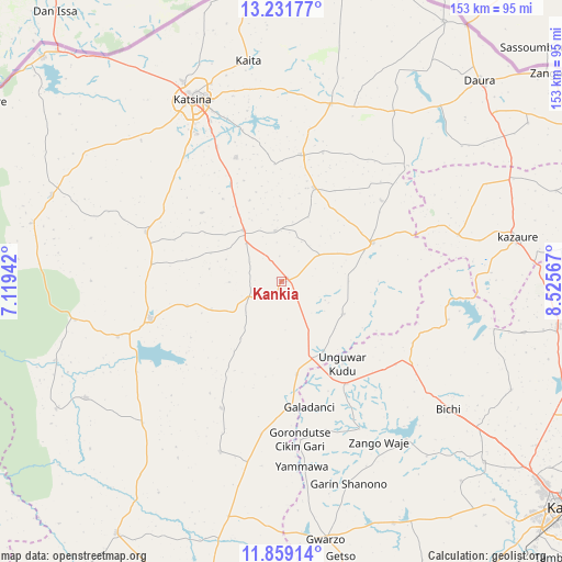
Kankia GPS coordinates[2]
12° 32' 46.932" North, 7° 49' 21.144" East
| Map corner | latitude | longitude |
|---|---|---|
| Upper-left | 13.23177°, | 7.11942° |
| Center: | 12.54637°, | 7.82254° |
| Lower-right: | 11.85914°, | 8.52567° |
| Map W x H: | 152.6×152.6 km | = 94.8×94.8mi |
| max Lat: | 13.7543° ⇑9% North |
| Kankia: | 12.54637° |
| min Lat: | ⇓91% South 4.31231° |
| min Long | Kankia | max Long |
| 2.73333° | 7.82254° | 14.46552° |
| W 60.4%⇐ | ⇒39.6% E |
Elevation
Elevation of Kankia is 543 m = 1781 ft, and this is 246.5 m = 809 ft above average elevation for this country.
| Max E: |
1599 m = 5246 ft | 10.8% |
| Kankia | 543 m 1781 ft | |
| Avg. | 296.5 m = 973 ft | |
Min E: |
2 m = 7 ft | 89.2% |
See also: Nigeria elevation on elevation.city.
Geographical zone
Kankia is located in North Torrid zone (between Equator and Tropic of Cancer). Distance of this Northern Tropic circle is 1210.9 km =752.4 mi to North.| Distance of | km | miles | from Kankia |
|---|---|---|---|
| North Pole | 8612 | 5351.2 | to North |
| Arctic Circle | 6006.1 | 3732 | to North |
| Tropic Cancer | 1210.9 | 752.4 | to North |
| Equator | 1395 | 866.8 | to South |


Nearby cities:
15 places around Kankia: (largest is in red/bold)
• Batagarawa
46.4 km =28.8 mi,  329°
329°
• Bindawa
13.8 km =8.6 mi,  353°
353°
• Charanchi
17.2 km =10.7 mi,  323°
323°
• Dutsi
46.6 km =29 mi,  47°
47°
• Dutsin-Ma
36.8 km =22.9 mi,  253°
253°
• Ingawa
27 km =16.8 mi,  66°
66°
• Jikamshi
41.8 km =26 mi,  187°
187°
• Kunchi
48.9 km =30.4 mi,  95°
95°
• Kurfi
39 km =24.2 mi,  289°
289°
• Kusada
19.2 km =11.9 mi,  117°
117°
• Mani
34.7 km =21.6 mi,  9°
9°
• Matazu
38.1 km =23.7 mi,  204°
204°
• Rimi
35.9 km =22.3 mi,  340°
340°
• Safana
46.8 km =29.1 mi, 251°
• Tsanyawa
33.1 km =20.6 mi,  147°
147°
Sources, notices
• [Note1] Compared only with cities in Nigeria existing in our database
• [Src1] Map data: © OpenStreetMap contributors (CC-BY-SA)
• [Src2] Other city data from geonames.org with taken over terms of usage.
• [Src3] Geographical zone / Annual Mean Temperature by Robert A. Rohde @ Wikipedia
