Ibi geodata
Ibi (Taraba) is a seat of a second-order administrative division; located in Nigeria in Africa/Lagos (GMT+1) time zone. With population of 22,757 people, there are 185 cities with bigger population in this country. Compared to other cities in Nigeria, 51% of cities are located further ↑North; 82.5% of cities are located further ←West and 76.6% of cities have higher elevation than Ibi. Note1


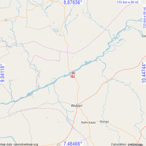
Ibi GPS coordinates[2]
8° 10' 52.392" North, 9° 44' 39.516" East
| Map corner | latitude | longitude |
|---|---|---|
| Upper-left | 8.87656°, | 9.04118° |
| Center: | 8.18122°, | 9.74431° |
| Lower-right: | 7.48466°, | 10.44744° |
| Map W x H: | 154.8×154.8 km | = 96.2×96.2mi |
| max Lat: | 13.7543° ⇑51% North |
| Ibi: | 8.18122° |
| min Lat: | ⇓49% South 4.31231° |
| min Long | Ibi | max Long |
| 2.73333° | 9.74431° | 14.46552° |
| W 82.5%⇐ | ⇒17.5% E |
Elevation
Elevation of Ibi is 109 m = 358 ft, and this is 187.5 m = 615 ft below average elevation for this country.
| Max E: |
1599 m = 5246 ft | 76.6% |
| Avg. | 296.5 m = 973 ft | |
| Ibi | 109 m = 358 ft | |
Min E: |
2 m = 7 ft | 23.4% |
See also: Nigeria elevation on elevation.city.
Geographical zone
Ibi is located in North Torrid zone (between Equator and Tropic of Cancer). Distance of Equator is 909.7 km =565.3 mi to South.| Distance of | km | miles | from Ibi |
|---|---|---|---|
| North Pole | 9097.4 | 5652.9 | to North |
| Arctic Circle | 6491.5 | 4033.6 | to North |
| Tropic Cancer | 1696.3 | 1054 | to North |
| Equator | 909.7 | 565.3 | to South |


Nearby cities:
15 places around Ibi: (largest is in red/bold)
• Awe
67 km =41.6 mi,  262°
262°
• Baap
101.2 km =62.9 mi,  326°
326°
• Buruku
99.9 km =62.1 mi,  216°
216°
• Donga
60.9 km =37.8 mi,  147°
147°
• Gassol
86.7 km =53.9 mi,  62°
62°
• Kwolla
94.5 km =58.7 mi, 328°
• Mabudi
61.2 km =38 mi,  4°
4°
• Riti
33.4 km =20.8 mi,  204°
204°
• Sankera
72.5 km =45 mi,  188°
188°
• Shendam
80.9 km =50.3 mi,  343°
343°
• Tunkus
94.5 km =58.7 mi,  351°
351°
• Ugba
86.7 km =53.9 mi,  210°
210°
• Wukari
34.6 km =21.5 mi,  173°
173°
• Yelwa
73.5 km =45.7 mi, 350°
• Zaki Biam
76.4 km =47.5 mi, 191°
Sources, notices
• [Note1] Compared only with cities in Nigeria existing in our database
• [Src1] Map data: © OpenStreetMap contributors (CC-BY-SA)
• [Src2] Other city data from geonames.org with taken over terms of usage.
• [Src3] Geographical zone / Annual Mean Temperature by Robert A. Rohde @ Wikipedia
