Ezzamgbo geodata
Ezzamgbo (Ebonyi) is a seat of a second-order administrative division; located in Nigeria in Africa/Lagos (GMT+1) time zone. In our database, there are 451 cities with bigger population. Compared to other cities in Nigeria, 78.6% of cities are located further ↑North; 62.9% of cities are located further ←West and 77.5% of cities have higher elevation than Ezzamgbo. Note1


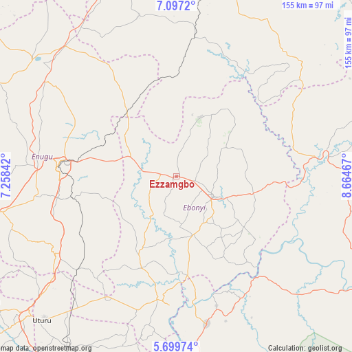
Ezzamgbo GPS coordinates[2]
6° 23' 56.22" North, 7° 57' 41.58" East
| Map corner | latitude | longitude |
|---|---|---|
| Upper-left | 7.0972°, | 7.25842° |
| Center: | 6.39895°, | 7.96155° |
| Lower-right: | 5.69974°, | 8.66467° |
| Map W x H: | 155.4×155.4 km | = 96.6×96.6mi |
| max Lat: | 13.7543° ⇑78.6% North |
| Ezzamgbo: | 6.39895° |
| min Lat: | ⇓21.4% South 4.31231° |
| min Long | Ezzamgbo | max Long |
| 2.73333° | 7.96155° | 14.46552° |
| W 62.9%⇐ | ⇒37.1% E |
Elevation
Elevation of Ezzamgbo is 97 m = 318 ft, and this is 199.5 m = 655 ft below average elevation for this country.
| Max E: |
1599 m = 5246 ft | 77.5% |
| Avg. | 296.5 m = 973 ft | |
| Ezzamgbo | 97 m = 318 ft | |
Min E: |
2 m = 7 ft | 22.5% |
See also: Nigeria elevation on elevation.city.
Geographical zone
Ezzamgbo is located in North Torrid zone (between Equator and Tropic of Cancer). Distance of Equator is 711.5 km =442.1 mi to South.| Distance of | km | miles | from Ezzamgbo |
|---|---|---|---|
| North Pole | 9295.6 | 5776 | to North |
| Arctic Circle | 6689.7 | 4156.8 | to North |
| Tropic Cancer | 1894.4 | 1177.1 | to North |
| Equator | 711.5 | 442.1 | to South |


Nearby cities:
15 places around Ezzamgbo: (largest is in red/bold)
• Abakaliki
18.7 km =11.6 mi,  116°
116°
• Amagunze
35 km =21.7 mi,  257°
257°
• Effium
27.9 km =17.3 mi,  22°
22°
• Eha Amufu
36.5 km =22.7 mi,  322°
322°
• Ezillo
16.2 km =10.1 mi,  282°
282°
• Ezza-Ohu
14.3 km =8.9 mi,  71°
71°
• Iboko
30 km =18.6 mi,  88°
88°
• Igumale
44.4 km =27.6 mi,  0°
0°
• Isieke
8.6 km =5.3 mi,  102°
102°
• Isu
32.9 km =20.4 mi,  212°
212°
• Mberubu
44.4 km =27.6 mi,  235°
235°
• Obiozara
44.4 km =27.6 mi, 208°
• Onuebonyi Echara
39.8 km =24.7 mi,  148°
148°
• Onueke
28.3 km =17.6 mi,  162°
162°
• Ugbodo
22.4 km =13.9 mi,  56°
56°
Sources, notices
• [Note1] Compared only with cities in Nigeria existing in our database
• [Src1] Map data: © OpenStreetMap contributors (CC-BY-SA)
• [Src2] Other city data from geonames.org with taken over terms of usage.
• [Src3] Geographical zone / Annual Mean Temperature by Robert A. Rohde @ Wikipedia
