Ezza-Ohu geodata
Ezza-Ohu (Ebonyi) is a populated place; located in Nigeria in Africa/Lagos (GMT+1) time zone. With population of 67,414 people, there are 140 cities with bigger population in this country. Compared to other cities in Nigeria, 78% of cities are located further ↑North; 65.2% of cities are located further ←West and 80.4% of cities have higher elevation than Ezza-Ohu. Note1


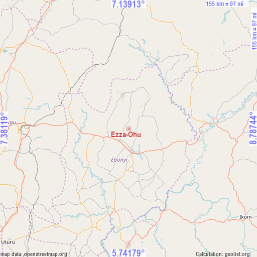
Ezza-Ohu GPS coordinates[2]
6° 26' 27.384" North, 8° 5' 3.552" East
| Map corner | latitude | longitude |
|---|---|---|
| Upper-left | 7.13913°, | 7.38119° |
| Center: | 6.44094°, | 8.08432° |
| Lower-right: | 5.74179°, | 8.78744° |
| Map W x H: | 155.4×155.4 km | = 96.6×96.6mi |
| max Lat: | 13.7543° ⇑78% North |
| Ezza-Ohu: | 6.44094° |
| min Lat: | ⇓22% South 4.31231° |
| min Long | Ezza-Ohu | max Long |
| 2.73333° | 8.08432° | 14.46552° |
| W 65.2%⇐ | ⇒34.8% E |
Elevation
Elevation of Ezza-Ohu is 80 m = 262 ft, and this is 216.5 m = 710 ft below average elevation for this country.
| Max E: |
1599 m = 5246 ft | 80.4% |
| Avg. | 296.5 m = 973 ft | |
| Ezza-Ohu | 80 m = 262 ft | |
Min E: |
2 m = 7 ft | 19.6% |
See also: Ezza-Ohu elevation on elevation.city.
Geographical zone
Ezza-Ohu is located in North Torrid zone (between Equator and Tropic of Cancer). Distance of Equator is 716.2 km =445 mi to South.| Distance of | km | miles | from Ezza-Ohu |
|---|---|---|---|
| North Pole | 9290.9 | 5773.1 | to North |
| Arctic Circle | 6685 | 4153.9 | to North |
| Tropic Cancer | 1889.8 | 1174.3 | to North |
| Equator | 716.2 | 445 | to South |


Nearby cities:
15 places around Ezza-Ohu: (largest is in red/bold)
• Abakaliki
13.3 km =8.3 mi,  165°
165°
• Amagunze
49.3 km =30.6 mi,  255°
255°
• Effium
21.3 km =13.2 mi,  352°
352°
• Eha Amufu
43.3 km =26.9 mi,  304°
304°
• Ezillo
29.5 km =18.3 mi,  267°
267°
• Ezzamgbo
14.3 km =8.9 mi,  251°
251°
• Iboko
16.9 km =10.5 mi,  103°
103°
• Igumale
41.7 km =25.9 mi,  342°
342°
• Ikem
55.6 km =34.5 mi,  312°
312°
• Isieke
8.4 km =5.2 mi,  218°
218°
• Isu
45 km =28 mi, 224°
• Obubra
48.9 km =30.4 mi,  145°
145°
• Onuebonyi Echara
39.1 km =24.3 mi, 169°
• Onueke
32.2 km =20 mi,  189°
189°
• Ugbodo
9.3 km =5.8 mi,  32°
32°
Sources, notices
• [Note1] Compared only with cities in Nigeria existing in our database
• [Src1] Map data: © OpenStreetMap contributors (CC-BY-SA)
• [Src2] Other city data from geonames.org with taken over terms of usage.
• [Src3] Geographical zone / Annual Mean Temperature by Robert A. Rohde @ Wikipedia
