Amagunze geodata
Amagunze (Enugu) is a seat of a second-order administrative division; located in Nigeria in Africa/Lagos (GMT+1) time zone. With population of 9,598 people, there are 342 cities with bigger population in this country. Compared to other cities in Nigeria, 79.7% of cities are located further ↑North; 56.6% of cities are located further ←West and 78.2% of cities have higher elevation than Amagunze. Note1


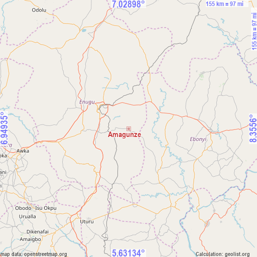
Amagunze GPS coordinates[2]
6° 19' 50.268" North, 7° 39' 8.892" East
| Map corner | latitude | longitude |
|---|---|---|
| Upper-left | 7.02898°, | 6.94935° |
| Center: | 6.33063°, | 7.65247° |
| Lower-right: | 5.63134°, | 8.3556° |
| Map W x H: | 155.4×155.4 km | = 96.6×96.6mi |
| max Lat: | 13.7543° ⇑79.7% North |
| Amagunze: | 6.33063° |
| min Lat: | ⇓20.3% South 4.31231° |
| min Long | Amagunze | max Long |
| 2.73333° | 7.65247° | 14.46552° |
| W 56.6%⇐ | ⇒43.4% E |
Elevation
Elevation of Amagunze is 92 m = 302 ft, and this is 204.5 m = 671 ft below average elevation for this country.
| Max E: |
1599 m = 5246 ft | 78.2% |
| Avg. | 296.5 m = 973 ft | |
| Amagunze | 92 m = 302 ft | |
Min E: |
2 m = 7 ft | 21.8% |
See also: Nigeria elevation on elevation.city.
Geographical zone
Amagunze is located in North Torrid zone (between Equator and Tropic of Cancer). Distance of Equator is 703.9 km =437.4 mi to South.| Distance of | km | miles | from Amagunze |
|---|---|---|---|
| North Pole | 9303.2 | 5780.7 | to North |
| Arctic Circle | 6697.3 | 4161.5 | to North |
| Tropic Cancer | 1902 | 1181.8 | to North |
| Equator | 703.9 | 437.4 | to South |


Nearby cities:
15 places around Amagunze: (largest is in red/bold)
• Agbani
11.8 km =7.3 mi,  256°
256°
• Aguobu-Owa
42.3 km =26.3 mi,  276°
276°
• Awgu
34.6 km =21.5 mi,  214°
214°
• Eha Amufu
38.4 km =23.9 mi,  17°
17°
• Enugu
21 km =13 mi,  305°
305°
• Ezillo
21.3 km =13.2 mi,  59°
59°
• Ezzamgbo
35 km =21.7 mi,  77°
77°
• Isieke
42.9 km =26.7 mi, 82°
• Isu
26 km =16.2 mi,  140°
140°
• Mberubu
17.7 km =11 mi,  188°
188°
• Ndeaboh
34.3 km =21.3 mi,  195°
195°
• Nkwo Nike
25.3 km =15.7 mi,  321°
321°
• Obiozara
34.3 km =21.3 mi,  157°
157°
• Oji River
43.1 km =26.8 mi, 258°
• Udi
25.6 km =15.9 mi,  266°
266°
Sources, notices
• [Note1] Compared only with cities in Nigeria existing in our database
• [Src1] Map data: © OpenStreetMap contributors (CC-BY-SA)
• [Src2] Other city data from geonames.org with taken over terms of usage.
• [Src3] Geographical zone / Annual Mean Temperature by Robert A. Rohde @ Wikipedia
