Bornu Yassu geodata
Bornu Yassu (Borno) is a populated place; located in Nigeria in Africa/Lagos (GMT+1) time zone. With population of 5,811 people, there are 448 cities with bigger population in this country. Compared to other cities in Nigeria, 88% of cities are located further ↓South; 96.1% of cities are located further ←West and 58% of cities have lower elevation than Bornu Yassu. Note1


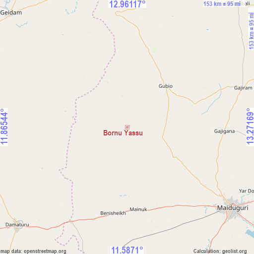
Bornu Yassu GPS coordinates[2]
12° 16' 30.108" North, 12° 34' 6.816" East
| Map corner | latitude | longitude |
|---|---|---|
| Upper-left | 12.96117°, | 11.86544° |
| Center: | 12.27503°, | 12.56856° |
| Lower-right: | 11.5871°, | 13.27169° |
| Map W x H: | 152.8×152.8 km | = 94.9×94.9mi |
| max Lat: | 13.7543° ⇑12% North |
| Bornu Yassu: | 12.27503° |
| min Lat: | ⇓88% South 4.31231° |
| min Long | Bornu Yassu | max Long |
| 2.73333° | 12.56856° | 14.46552° |
| W 96.1%⇐ | ⇒3.9% E |
Elevation
Elevation of Bornu Yassu is 332 m = 1089 ft, and this is 35.5 m = 116 ft above average elevation for this country.
| Max E: |
1599 m = 5246 ft | 42% |
| Bornu Yassu | 332 m 1089 ft | |
| Avg. | 296.5 m = 973 ft | |
Min E: |
2 m = 7 ft | 58% |
See also: Nigeria elevation on elevation.city.
Geographical zone
Bornu Yassu is located in North Torrid zone (between Equator and Tropic of Cancer). Distance of this Northern Tropic circle is 1241.1 km =771.2 mi to North.| Distance of | km | miles | from Bornu Yassu |
|---|---|---|---|
| North Pole | 8642.2 | 5370 | to North |
| Arctic Circle | 6036.3 | 3750.8 | to North |
| Tropic Cancer | 1241.1 | 771.2 | to North |
| Equator | 1364.9 | 848.1 | to South |


Nearby cities:
15 places around Bornu Yassu: (largest is in red/bold)
• Babban Gida
87.7 km =54.5 mi,  261°
261°
• Benisheikh
52.5 km =32.6 mi,  189°
189°
• Damasak
92.5 km =57.5 mi,  355°
355°
• Damaturu
88.4 km =54.9 mi,  228°
228°
• Dankalwa
72.2 km =44.9 mi,  215°
215°
• Gajiram
73.9 km =45.9 mi,  70°
70°
• Geidam
98 km =60.9 mi,  314°
314°
• Goniri
92.2 km =57.3 mi,  197°
197°
• Gubio
33.8 km =21 mi,  42°
42°
• Gudumbali
99.5 km =61.8 mi, 41°
• Kanamma
104.4 km =64.9 mi,  331°
331°
• Khaddamari
81.8 km =50.8 mi,  118°
118°
• Magumeri
33.2 km =20.6 mi, 122°
• Maiduguri
79.8 km =49.6 mi,  126°
126°
• Yajiwa
100.2 km =62.3 mi,  170°
170°
Sources, notices
• [Note1] Compared only with cities in Nigeria existing in our database
• [Src1] Map data: © OpenStreetMap contributors (CC-BY-SA)
• [Src2] Other city data from geonames.org with taken over terms of usage.
• [Src3] Geographical zone / Annual Mean Temperature by Robert A. Rohde @ Wikipedia
