Yajiwa geodata
Yajiwa (Borno) is a populated place; located in Nigeria in Africa/Lagos (GMT+1) time zone. With population of 6,880 people, there are 422 cities with bigger population in this country. Compared to other cities in Nigeria, 76.1% of cities are located further ↓South; 96.5% of cities are located further ←West and 66.2% of cities have lower elevation than Yajiwa. Note1


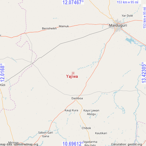
Yajiwa GPS coordinates[2]
11° 23' 10.428" North, 12° 43' 11.712" East
| Map corner | latitude | longitude |
|---|---|---|
| Upper-left | 12.07467°, | 12.0168° |
| Center: | 11.38623°, | 12.71992° |
| Lower-right: | 10.69612°, | 13.42305° |
| Map W x H: | 153.3×153.3 km | = 95.3×95.3mi |
| max Lat: | 13.7543° ⇑23.9% North |
| Yajiwa: | 11.38623° |
| min Lat: | ⇓76.1% South 4.31231° |
| min Long | Yajiwa | max Long |
| 2.73333° | 12.71992° | 14.46552° |
| W 96.5%⇐ | ⇒3.5% E |
Elevation
Elevation of Yajiwa is 377 m = 1237 ft, and this is 80.5 m = 264 ft above average elevation for this country.
| Max E: |
1599 m = 5246 ft | 33.8% |
| Yajiwa | 377 m 1237 ft | |
| Avg. | 296.5 m = 973 ft | |
Min E: |
2 m = 7 ft | 66.2% |
See also: Nigeria elevation on elevation.city.
Geographical zone
Yajiwa is located in North Torrid zone (between Equator and Tropic of Cancer). Distance of Equator is 1266 km =786.7 mi to South.| Distance of | km | miles | from Yajiwa |
|---|---|---|---|
| North Pole | 8741 | 5431.4 | to North |
| Arctic Circle | 6135.1 | 3812.2 | to North |
| Tropic Cancer | 1339.9 | 832.6 | to North |
| Equator | 1266 | 786.7 | to South |


Nearby cities:
15 places around Yajiwa: (largest is in red/bold)
• Askira
84.3 km =52.4 mi,  165°
165°
• Benisheikh
53.2 km =33.1 mi,  332°
332°
• Buni Yadi
78.5 km =48.8 mi,  260°
260°
• Chibok
59.1 km =36.7 mi, 166°
• Damaturu
91.9 km =57.1 mi,  295°
295°
• Damboa
26 km =16.2 mi, 171°
• Dankalwa
70.5 km =43.8 mi, 304°
• Goniri
45.7 km =28.4 mi,  283°
283°
• Gujba
86.6 km =53.8 mi, 278°
• Khaddamari
81.8 km =50.8 mi,  42°
42°
• Konduga
81.6 km =50.7 mi,  68°
68°
• Magumeri
81.8 km =50.8 mi,  8°
8°
• Maiduguri
69.9 km =43.4 mi, 42°
• Miringa
96 km =59.7 mi,  220°
220°
• Tokombere
85.7 km =53.3 mi,  102°
102°
Sources, notices
• [Note1] Compared only with cities in Nigeria existing in our database
• [Src1] Map data: © OpenStreetMap contributors (CC-BY-SA)
• [Src2] Other city data from geonames.org with taken over terms of usage.
• [Src3] Geographical zone / Annual Mean Temperature by Robert A. Rohde @ Wikipedia
