Schutsboom geodata
Schutsboom (North Brabant) is a populated place; located in Netherlands in Europe/Amsterdam (GMT+2) time zone. With population of 3,490 people, there are 673 cities with bigger population in this country. Compared to other cities in Netherlands, 83.3% of cities are located further ↑North; 51.4% of cities are located further →East and 74.9% of cities have lower elevation than Schutsboom. Note1


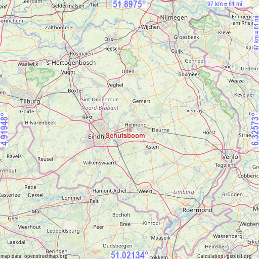
Schutsboom GPS coordinates[2]
51° 27' 41.472" North, 5° 37' 21.36" East
| Map corner | latitude | longitude |
|---|---|---|
| Upper-left | 51.8975°, | 4.91948° |
| Center: | 51.46152°, | 5.6226° |
| Lower-right: | 51.02134°, | 6.32573° |
| Map W x H: | 97.4×97.4 km | = 60.5×60.5mi |
| max Lat: | 53.48025° ⇑83.3% North |
| Schutsboom: | 51.46152° |
| min Lat: | ⇓16.7% South 50.76917° |
| min Long | Schutsboom | max Long |
| 3.38611° | 5.6226° | 7.16528° |
| W 48.6%⇐ | ⇒51.4% E |
Elevation
Elevation of Schutsboom is 18 m = 59 ft, and this is 3 m = 10 ft above average elevation for this country.
| Max E: |
203 m = 666 ft | 25.1% |
| Schutsboom | 18 m 59 ft | |
| Avg. | 15 m = 49 ft | |
Min E: |
-6 m = -20 ft | 74.9% |
See also: Netherlands elevation on elevation.city.
Geographical zone
Schutsboom is located in North temperate zone (between Tropic of Cancer and the Arctic Circle). Distance of this North polar circle is 1679.2 km =1043.4 mi to North.| Distance of | km | miles | from Schutsboom |
|---|---|---|---|
| North Pole | 4285.1 | 2662.6 | to North |
| Arctic Circle | 1679.2 | 1043.4 | to North |
| Tropic Cancer | 3116.1 | 1936.3 | to South |
| Equator | 5722 | 3555.5 | to South |


Nearby cities:
15 places around Schutsboom: (largest is in red/bold)
• Aarle-Rixtel
5.5 km =3.4 mi,  11°
11°
• Akert
6.8 km =4.2 mi,  219°
219°
• Brand
0.4 km =0.2 mi,  161°
161°
• Coevering
5.9 km =3.7 mi,  214°
214°
• Eeneind
5.3 km =3.3 mi,  258°
258°
• Geldrop
6.2 km =3.9 mi, 224°
• Gerwen
5.2 km =3.2 mi,  307°
307°
• Helmond
3.5 km =2.2 mi,  49°
49°
• Lierop
6.1 km =3.8 mi,  140°
140°
• Lieshout
6.8 km =4.2 mi,  343°
343°
• Mierlo
2.4 km =1.5 mi,  185°
185°
• Muschberg en Geestenberg
7.2 km =4.5 mi,  254°
254°
• Nuenen
4.9 km =3 mi,  281°
281°
• Stepekolk
1 km =0.6 mi, 223°
• Zesgehuchten
7.1 km =4.4 mi,  225°
225°
Sources, notices
• [Note1] Compared only with cities in Netherlands existing in our database
• [Src1] Map data: © OpenStreetMap contributors (CC-BY-SA)
• [Src2] Other city data from geonames.org with taken over terms of usage.
• [Src3] Geographical zone / Annual Mean Temperature by Robert A. Rohde @ Wikipedia
