Waiouru geodata
Waiouru (Manawatu-Wanganui) is a populated place; located in New Zealand in Pacific/Auckland (GMT+12) time zone. With population of 1,347 people, there are 123 cities with bigger population in this country. Compared to other cities in New Zealand, 53.6% of cities are located further ↓South; 80.7% of cities are located further ←West and 100% of cities have lower elevation than Waiouru. Note1


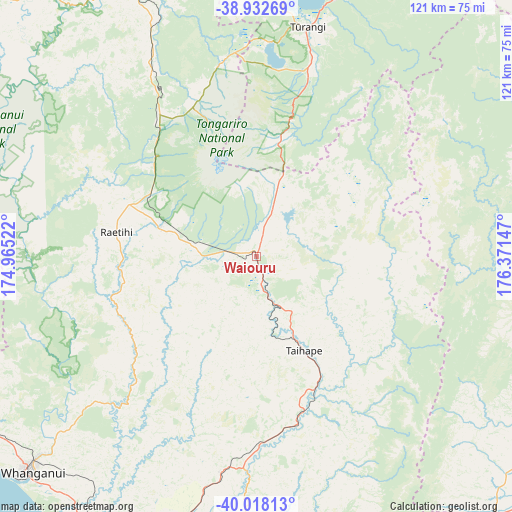
Waiouru GPS coordinates[2]
39° 28' 39.108" South, 175° 40' 6.024" East
| Map corner | latitude | longitude |
|---|---|---|
| Upper-left | -38.93269°, | 174.96522° |
| Center: | -39.47753°, | 175.66834° |
| Lower-right: | -40.01813°, | 176.37147° |
| Map W x H: | 120.7×120.7 km | = 75×75mi |
| max Lat: | -34.99604° ⇑46.4% North |
| Waiouru: | -39.47753° |
| min Lat: | ⇓53.6% South -46.6° |
| min Long | Waiouru | max Long |
| -176.55973° | 175.66834° | 178.33333° |
| W 80.7%⇐ | ⇒19.3% E |
Elevation
Elevation of Waiouru is 819 m = 2687 ft, and this is 734.6 m = 2410 ft above average elevation for this country.
| Max E: |
819 m = 2687 ft | 0% |
| Waiouru | 819 m 2687 ft | |
| Avg. | 84.4 m = 277 ft | |
Min E: |
3 m = 10 ft | 100% |
See also: New Zealand elevation on elevation.city.
Geographical zone
Waiouru is located in South temperate zone (between Tropic of Capricorn and the Antarctic Circle). Distance of this Southern Tropic circle is 1783.6 km =1108.3 mi to North.| Distance of | km | miles | from Waiouru |
|---|---|---|---|
| Equator | 4389.5 | 2727.5 | to North |
| Tropic Capricorn | 1783.6 | 1108.3 | to North |
| Antarctic Circle | 3011.7 | 1871.4 | to South |
| South Pole | 5617.6 | 3490.6 | to South |


Nearby cities:
15 places around Waiouru: (largest is in red/bold)
• Bulls
81.2 km =50.5 mi,  197°
197°
• Hastings
102.8 km =63.9 mi,  100°
100°
• Hunterville
51.8 km =32.2 mi,  189°
189°
• Linton Military Camp
103.2 km =64.1 mi,  184°
184°
• Otane
94.1 km =58.5 mi,  118°
118°
• Palmerston North
97.8 km =60.8 mi, 182°
• Patea
106.2 km =66 mi,  252°
252°
• Rongotea
93 km =57.8 mi, 192°
• Sanson
85.2 km =52.9 mi, 194°
• Takapau
84.9 km =52.8 mi,  136°
136°
• Taradale
101.6 km =63.1 mi,  93°
93°
• Taupo
95.3 km =59.2 mi,  22°
22°
• Turangi
55.5 km =34.5 mi,  12°
12°
• Wanganui
73.3 km =45.5 mi,  226°
226°
• Waverley
94.3 km =58.6 mi, 250°
Sources, notices
• [Note1] Compared only with cities in New Zealand existing in our database
• [Src1] Map data: © OpenStreetMap contributors (CC-BY-SA)
• [Src2] Other city data from geonames.org with taken over terms of usage.
• [Src3] Geographical zone / Annual Mean Temperature by Robert A. Rohde @ Wikipedia
