Takapau geodata
Takapau (Hawke's Bay) is a populated place; located in New Zealand in Pacific/Auckland (GMT+13) time zone. With population of 597 people, there are 181 cities with bigger population in this country. Compared to other cities in New Zealand, 51.7% of cities are located further ↑North; 90.3% of cities are located further ←West and 89.9% of cities have lower elevation than Takapau. Note1


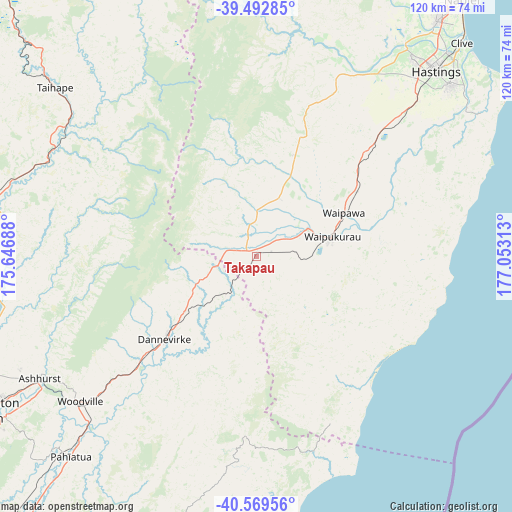
Takapau GPS coordinates[2]
40° 1' 59.988" South, 176° 21' 0" East
| Map corner | latitude | longitude |
|---|---|---|
| Upper-left | -39.49285°, | 175.64688° |
| Center: | -40.03333°, | 176.35° |
| Lower-right: | -40.56956°, | 177.05313° |
| Map W x H: | 119.7×119.7 km | = 74.4×74.4mi |
| max Lat: | -34.99604° ⇑51.7% North |
| Takapau: | -40.03333° |
| min Lat: | ⇓48.3% South -46.6° |
| min Long | Takapau | max Long |
| -176.55973° | 176.35° | 178.33333° |
| W 90.3%⇐ | ⇒9.7% E |
Elevation
Elevation of Takapau is 235 m = 771 ft, and this is 150.6 m = 494 ft above average elevation for this country.
| Max E: |
819 m = 2687 ft | 10.1% |
| Takapau | 235 m 771 ft | |
| Avg. | 84.4 m = 277 ft | |
Min E: |
3 m = 10 ft | 89.9% |
See also: New Zealand elevation on elevation.city.
Geographical zone
Takapau is located in South temperate zone (between Tropic of Capricorn and the Antarctic Circle). Distance of this Southern Tropic circle is 1845.4 km =1146.7 mi to North.| Distance of | km | miles | from Takapau |
|---|---|---|---|
| Equator | 4451.3 | 2765.9 | to North |
| Tropic Capricorn | 1845.4 | 1146.7 | to North |
| Antarctic Circle | 2949.9 | 1833 | to South |
| South Pole | 5555.8 | 3452.2 | to South |


Nearby cities:
15 places around Takapau: (largest is in red/bold)
• Bulls
83.6 km =51.9 mi,  259°
259°
• Castlepoint
97 km =60.3 mi,  186°
186°
• Foxton
101.3 km =62.9 mi,  241°
241°
• Hastings
61.2 km =38 mi,  44°
44°
• Himatangi
96.7 km =60.1 mi,  245°
245°
• Hunterville
67.5 km =41.9 mi,  279°
279°
• Linton Military Camp
77 km =47.8 mi, 237°
• Napier
77 km =47.8 mi, 38°
• Otane
29.3 km =18.2 mi,  55°
55°
• Palmerston North
72.3 km =44.9 mi, 240°
• Rongotea
83.7 km =52 mi, 249°
• Sanson
81.4 km =50.6 mi, 255°
• Taradale
70.1 km =43.6 mi, 37°
• Tokomaru
86.5 km =53.7 mi, 235°
• Waiouru
84.9 km =52.8 mi,  316°
316°
Sources, notices
• [Note1] Compared only with cities in New Zealand existing in our database
• [Src1] Map data: © OpenStreetMap contributors (CC-BY-SA)
• [Src2] Other city data from geonames.org with taken over terms of usage.
• [Src3] Geographical zone / Annual Mean Temperature by Robert A. Rohde @ Wikipedia
