Manutuke geodata
Manutuke (Gisborne) is a populated place; located in New Zealand in Pacific/Auckland (GMT+13) time zone. With population of 685 people, there are 172 cities with bigger population in this country. Compared to other cities in New Zealand, 57.5% of cities are located further ↓South; 98.6% of cities are located further ←West and 97.1% of cities have higher elevation than Manutuke. Note1


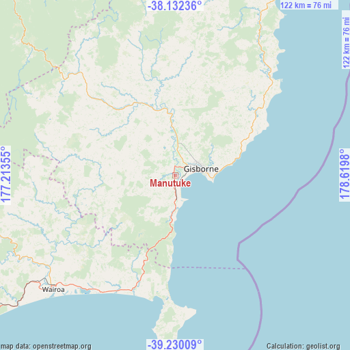
Manutuke GPS coordinates[2]
38° 40' 59.988" South, 177° 55' 0.012" East
| Map corner | latitude | longitude |
|---|---|---|
| Upper-left | -38.13236°, | 177.21355° |
| Center: | -38.68333°, | 177.91667° |
| Lower-right: | -39.23009°, | 178.6198° |
| Map W x H: | 122.1×122.1 km | = 75.9×75.9mi |
| max Lat: | -34.99604° ⇑42.5% North |
| Manutuke: | -38.68333° |
| min Lat: | ⇓57.5% South -46.6° |
| min Long | Manutuke | max Long |
| -176.55973° | 177.91667° | 178.33333° |
| W 98.6%⇐ | ⇒1.4% E |
Elevation
Elevation of Manutuke is 6 m = 20 ft, and this is 78.4 m = 257 ft below average elevation for this country.
| Max E: |
819 m = 2687 ft | 97.1% |
| Avg. | 84.4 m = 277 ft | |
| Manutuke | 6 m = 20 ft | |
Min E: |
3 m = 10 ft | 2.9% |
See also: New Zealand elevation on elevation.city.
Geographical zone
Manutuke is located in South temperate zone (between Tropic of Capricorn and the Antarctic Circle). Distance of this Southern Tropic circle is 1695.3 km =1053.4 mi to North.| Distance of | km | miles | from Manutuke |
|---|---|---|---|
| Equator | 4301.2 | 2672.6 | to North |
| Tropic Capricorn | 1695.3 | 1053.4 | to North |
| Antarctic Circle | 3100 | 1926.3 | to South |
| South Pole | 5705.9 | 3545.5 | to South |


Nearby cities:
15 places around Manutuke: (largest is in red/bold)
• Edgecumbe
122.4 km =76.1 mi,  309°
309°
• Gisborne
8.3 km =5.2 mi,  66°
66°
• Kawerau
124.3 km =77.2 mi,  301°
301°
• Matata
135.2 km =84 mi, 311°
• Murupara
108.5 km =67.4 mi,  282°
282°
• Napier
124.9 km =77.6 mi,  223°
223°
• Opotiki
92.9 km =57.7 mi,  323°
323°
• Ruatoria
96.1 km =59.7 mi,  22°
22°
• Taneatua
104.2 km =64.7 mi, 311°
• Taradale
131.9 km =82 mi, 224°
• Te Karaka
24.5 km =15.2 mi,  349°
349°
• Tolaga Bay
48.5 km =30.1 mi,  43°
43°
• Waimana
93.7 km =58.2 mi, 309°
• Wairoa
61.5 km =38.2 mi,  230°
230°
• Whakatane
114.4 km =71.1 mi, 314°
Sources, notices
• [Note1] Compared only with cities in New Zealand existing in our database
• [Src1] Map data: © OpenStreetMap contributors (CC-BY-SA)
• [Src2] Other city data from geonames.org with taken over terms of usage.
• [Src3] Geographical zone / Annual Mean Temperature by Robert A. Rohde @ Wikipedia
