Salud geodata
Salud (Colón) is a seat of a third-order administrative division; located in Panama in America/Panama (GMT-5) time zone. In our database, there are 694 cities with bigger population. Compared to other cities in Panama, 91.6% of cities are located further ↓South; 70% of cities are located further ←West and 96.3% of cities have higher elevation than Salud. Note1


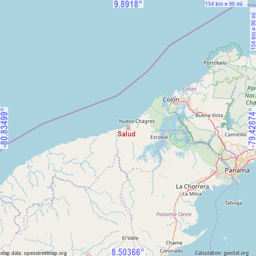
Salud GPS coordinates[2]
9° 11' 54.276" North, 80° 7' 54.696" West
| Map corner | latitude | longitude |
|---|---|---|
| Upper-left | 9.8918°, | -80.83499° |
| Center: | 9.19841°, | -80.13186° |
| Lower-right: | 8.50366°, | -79.42874° |
| Map W x H: | 154.3×154.3 km | = 95.9×95.9mi |
| max Lat: | 9.60898° ⇑8.4% North |
| Salud: | 9.19841° |
| min Lat: | ⇓91.6% South 7.26534° |
| min Long | Salud | max Long |
| -82.91275° | -80.13186° | -77.38965° |
| W 70%⇐ | ⇒30% E |
Elevation
Elevation of Salud is 6 m = 20 ft, and this is 166.1 m = 545 ft below average elevation for this country.
| Max E: |
2103 m = 6900 ft | 96.3% |
| Avg. | 172.1 m = 565 ft | |
| Salud | 6 m = 20 ft | |
Min E: |
-1 m = -3 ft | 3.7% |
See also: Panama elevation on elevation.city.
Geographical zone
Salud is located in North Torrid zone (between Equator and Tropic of Cancer). Distance of Equator is 1022.8 km =635.5 mi to South.| Distance of | km | miles | from Salud |
|---|---|---|---|
| North Pole | 8984.3 | 5582.6 | to North |
| Arctic Circle | 6378.4 | 3963.4 | to North |
| Tropic Cancer | 1583.2 | 983.8 | to North |
| Equator | 1022.8 | 635.5 | to South |


Nearby cities:
15 places around Salud: (largest is in red/bold)
• Achiote
13.1 km =8.1 mi,  83°
83°
• Arenosa
26.5 km =16.5 mi,  131°
131°
• Boca de Río Indio
6.7 km =4.2 mi,  255°
255°
• Boca del Guásimo
27.2 km =16.9 mi,  232°
232°
• Cirí de Los Sotos
25.5 km =15.8 mi,  170°
170°
• Cuipo
17 km =10.6 mi,  147°
147°
• El Guabo
14.4 km =8.9 mi,  158°
158°
• Escobal
19.4 km =12.1 mi,  108°
108°
• Gobea
13.7 km =8.5 mi,  251°
251°
• La Encantada
14 km =8.7 mi,  207°
207°
• Lagarterita
27.3 km =17 mi,  118°
118°
• Miguel de La Borda
19.5 km =12.1 mi, 252°
• Nuevo Chagres
7.1 km =4.4 mi,  49°
49°
• Palmas Bellas
6.1 km =3.8 mi,  57°
57°
• Puerto Escondido
4.8 km =3 mi,  96°
96°
Sources, notices
• [Note1] Compared only with cities in Panama existing in our database
• [Src1] Map data: © OpenStreetMap contributors (CC-BY-SA)
• [Src2] Other city data from geonames.org with taken over terms of usage.
• [Src3] Geographical zone / Annual Mean Temperature by Robert A. Rohde @ Wikipedia
