Lagarterita geodata
Lagarterita (Panamá Oeste) is a seat of a third-order administrative division; located in Panama in America/Panama (GMT-5) time zone. In our database, there are 694 cities with bigger population. Compared to other cities in Panama, 86.4% of cities are located further ↓South; 74.9% of cities are located further ←West and 68% of cities have higher elevation than Lagarterita. Note1


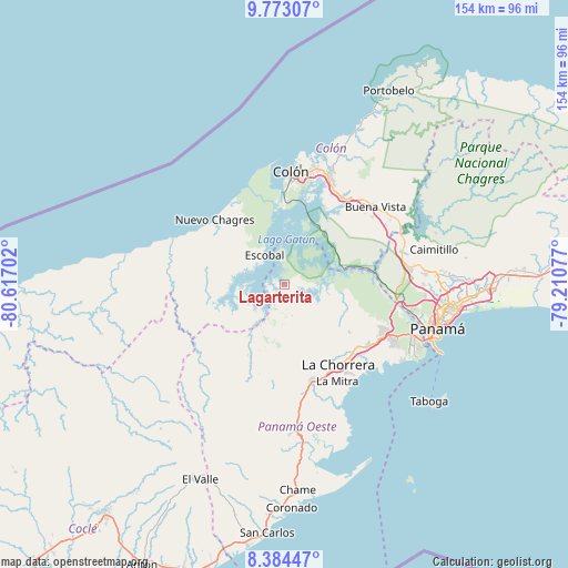
Lagarterita GPS coordinates[2]
9° 4' 45.984" North, 79° 54' 50.004" West
| Map corner | latitude | longitude |
|---|---|---|
| Upper-left | 9.77307°, | -80.61702° |
| Center: | 9.07944°, | -79.91389° |
| Lower-right: | 8.38447°, | -79.21077° |
| Map W x H: | 154.4×154.4 km | = 95.9×95.9mi |
| max Lat: | 9.60898° ⇑13.6% North |
| Lagarterita: | 9.07944° |
| min Lat: | ⇓86.4% South 7.26534° |
| min Long | Lagarterita | max Long |
| -82.91275° | -79.91389° | -77.38965° |
| W 74.9%⇐ | ⇒25.1% E |
Elevation
Elevation of Lagarterita is 38 m = 125 ft, and this is 134.1 m = 440 ft below average elevation for this country.
| Max E: |
2103 m = 6900 ft | 68% |
| Avg. | 172.1 m = 565 ft | |
| Lagarterita | 38 m = 125 ft | |
Min E: |
-1 m = -3 ft | 32% |
See also: Panama elevation on elevation.city.
Geographical zone
Lagarterita is located in North Torrid zone (between Equator and Tropic of Cancer). Distance of Equator is 1009.5 km =627.3 mi to South.| Distance of | km | miles | from Lagarterita |
|---|---|---|---|
| North Pole | 8997.5 | 5590.8 | to North |
| Arctic Circle | 6391.6 | 3971.6 | to North |
| Tropic Cancer | 1596.4 | 992 | to North |
| Equator | 1009.5 | 627.3 | to South |


Nearby cities:
15 places around Lagarterita: (largest is in red/bold)
• Achiote
18.3 km =11.4 mi,  323°
323°
• Arenosa
6 km =3.7 mi,  222°
222°
• Arosemena
13.4 km =8.3 mi,  205°
205°
• Cerro Cama
5.8 km =3.6 mi,  172°
172°
• Cirí de Los Sotos
22.9 km =14.2 mi,  238°
238°
• Cuipo
14.9 km =9.3 mi,  265°
265°
• El Guabo
18.6 km =11.6 mi, 269°
• Escobal
9 km =5.6 mi, 322°
• La Colorada
11 km =6.8 mi,  182°
182°
• La Laguna
8.8 km =5.5 mi,  116°
116°
• Mendoza
10 km =6.2 mi,  136°
136°
• Nuevo Emperador
21.8 km =13.5 mi,  113°
113°
• Río Congo
21 km =13 mi,  126°
126°
• Santa Clara
18.4 km =11.4 mi, 107°
• Zangüengas
14.5 km =9 mi,  160°
160°
Sources, notices
• [Note1] Compared only with cities in Panama existing in our database
• [Src1] Map data: © OpenStreetMap contributors (CC-BY-SA)
• [Src2] Other city data from geonames.org with taken over terms of usage.
• [Src3] Geographical zone / Annual Mean Temperature by Robert A. Rohde @ Wikipedia
