La Colorada geodata
La Colorada (Veraguas) is a seat of a third-order administrative division; located in Panama in America/Panama (GMT-5) time zone. With population of 1,214 people, there are 203 cities with bigger population in this country. Compared to other cities in Panama, 81% of cities are located further ↑North; 61.5% of cities are located further →East and 59.7% of cities have lower elevation than La Colorada. Note1


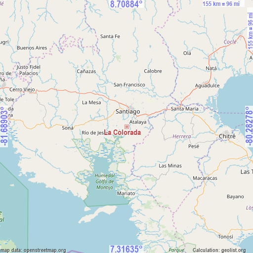
La Colorada GPS coordinates[2]
8° 0' 47.484" North, 80° 59' 9.24" West
| Map corner | latitude | longitude |
|---|---|---|
| Upper-left | 8.70884°, | -81.68903° |
| Center: | 8.01319°, | -80.9859° |
| Lower-right: | 7.31635°, | -80.28278° |
| Map W x H: | 154.8×154.8 km | = 96.2×96.2mi |
| max Lat: | 9.60898° ⇑81% North |
| La Colorada: | 8.01319° |
| min Lat: | ⇓19% South 7.26534° |
| min Long | La Colorada | max Long |
| -82.91275° | -80.9859° | -77.38965° |
| W 38.5%⇐ | ⇒61.5% E |
Elevation
Elevation of La Colorada is 103 m = 338 ft, and this is 69.1 m = 227 ft below average elevation for this country.
| Max E: |
2103 m = 6900 ft | 40.3% |
| Avg. | 172.1 m = 565 ft | |
| La Colorada | 103 m = 338 ft | |
Min E: |
-1 m = -3 ft | 59.7% |
See also: Panama elevation on elevation.city.
Geographical zone
La Colorada is located in North Torrid zone (between Equator and Tropic of Cancer). Distance of Equator is 891 km =553.6 mi to South.| Distance of | km | miles | from La Colorada |
|---|---|---|---|
| North Pole | 9116.1 | 5664.5 | to North |
| Arctic Circle | 6510.2 | 4045.2 | to North |
| Tropic Cancer | 1714.9 | 1065.6 | to North |
| Equator | 891 | 553.6 | to South |


Nearby cities:
15 places around La Colorada: (largest is in red/bold)
• Atalaya
7.4 km =4.6 mi,  64°
64°
• Canto del Llano
12.6 km =7.8 mi,  11°
11°
• El Barrito
7.2 km =4.5 mi,  144°
144°
• El Bongo
9.9 km =6.2 mi,  223°
223°
• El Pilón
11.9 km =7.4 mi,  236°
236°
• El Uvito
11.5 km =7.1 mi,  0°
0°
• La Carrillo
12.2 km =7.6 mi,  113°
113°
• La Garceana
9.1 km =5.7 mi,  201°
201°
• Las Barreras
10.3 km =6.4 mi,  352°
352°
• Los Algarrobos
11.1 km =6.9 mi,  344°
344°
• Montijo
8.2 km =5.1 mi,  250°
250°
• Punta Delgadita
11.6 km =7.2 mi,  22°
22°
• Rincón Largo
11.6 km =7.2 mi,  230°
230°
• San Antonio
8.9 km =5.5 mi,  41°
41°
• Santiago de Veraguas
9.7 km =6 mi, 1°
Sources, notices
• [Note1] Compared only with cities in Panama existing in our database
• [Src1] Map data: © OpenStreetMap contributors (CC-BY-SA)
• [Src2] Other city data from geonames.org with taken over terms of usage.
• [Src3] Geographical zone / Annual Mean Temperature by Robert A. Rohde @ Wikipedia
