La Carrillo geodata
La Carrillo (Veraguas) is a seat of a third-order administrative division; located in Panama in America/Panama (GMT-5) time zone. In our database, there are 694 cities with bigger population. Compared to other cities in Panama, 83% of cities are located further ↑North; 59.2% of cities are located further →East and 72.2% of cities have lower elevation than La Carrillo. Note1


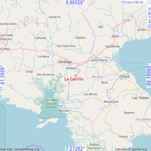
La Carrillo GPS coordinates[2]
7° 58' 10.308" North, 80° 53' 1.572" West
| Map corner | latitude | longitude |
|---|---|---|
| Upper-left | 8.66526°, | -81.5869° |
| Center: | 7.96953°, | -80.88377° |
| Lower-right: | 7.27262°, | -80.18065° |
| Map W x H: | 154.8×154.9 km | = 96.2×96.3mi |
| max Lat: | 9.60898° ⇑83% North |
| La Carrillo: | 7.96953° |
| min Lat: | ⇓17% South 7.26534° |
| min Long | La Carrillo | max Long |
| -82.91275° | -80.88377° | -77.38965° |
| W 40.8%⇐ | ⇒59.2% E |
Elevation
Elevation of La Carrillo is 174 m = 571 ft, and this is 1.9 m = 6 ft above average elevation for this country.
| Max E: |
2103 m = 6900 ft | 27.8% |
| La Carrillo | 174 m 571 ft | |
| Avg. | 172.1 m = 565 ft | |
Min E: |
-1 m = -3 ft | 72.2% |
See also: Panama elevation on elevation.city.
Geographical zone
La Carrillo is located in North Torrid zone (between Equator and Tropic of Cancer). Distance of Equator is 886.1 km =550.6 mi to South.| Distance of | km | miles | from La Carrillo |
|---|---|---|---|
| North Pole | 9120.9 | 5667.5 | to North |
| Arctic Circle | 6515 | 4048.2 | to North |
| Tropic Cancer | 1719.8 | 1068.6 | to North |
| Equator | 886.1 | 550.6 | to South |


Nearby cities:
15 places around La Carrillo: (largest is in red/bold)
• Atalaya
9.3 km =5.8 mi,  330°
330°
• Cabuya
13.2 km =8.2 mi,  83°
83°
• El Barrito
7.1 km =4.4 mi,  262°
262°
• El Espino de Santa Rosa
15.2 km =9.4 mi,  25°
25°
• La Colorada
12.2 km =7.6 mi,  293°
293°
• La Garceana
15 km =9.3 mi, 256°
• La Mata
13.3 km =8.3 mi,  1°
1°
• La Montañuela
6.6 km =4.1 mi,  20°
20°
• Las Guabas
10.8 km =6.7 mi,  128°
128°
• Los Boquerones
12.6 km =7.8 mi,  14°
14°
• Ocú
11.9 km =7.4 mi,  105°
105°
• Peñas Chatas
10.2 km =6.3 mi,  60°
60°
• Ponuga
14.3 km =8.9 mi,  227°
227°
• San Antonio
12.7 km =7.9 mi,  335°
335°
• San José
4.4 km =2.7 mi,  116°
116°
Sources, notices
• [Note1] Compared only with cities in Panama existing in our database
• [Src1] Map data: © OpenStreetMap contributors (CC-BY-SA)
• [Src2] Other city data from geonames.org with taken over terms of usage.
• [Src3] Geographical zone / Annual Mean Temperature by Robert A. Rohde @ Wikipedia
