El Uvito geodata
El Uvito (Veraguas) is a populated place; located in Panama in America/Panama (GMT-5) time zone. With population of 1,037 people, there are 247 cities with bigger population in this country. Compared to other cities in Panama, 75.9% of cities are located further ↑North; 61.3% of cities are located further →East and 54.4% of cities have lower elevation than El Uvito. Note1


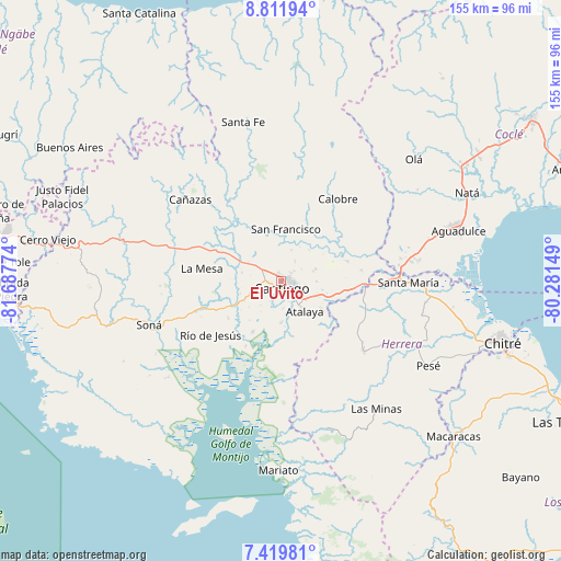
El Uvito GPS coordinates[2]
8° 6' 59.328" North, 80° 59' 4.596" West
| Map corner | latitude | longitude |
|---|---|---|
| Upper-left | 8.81194°, | -81.68774° |
| Center: | 8.11648°, | -80.98461° |
| Lower-right: | 7.41981°, | -80.28149° |
| Map W x H: | 154.8×154.8 km | = 96.2×96.2mi |
| max Lat: | 9.60898° ⇑75.9% North |
| El Uvito: | 8.11648° |
| min Lat: | ⇓24.1% South 7.26534° |
| min Long | El Uvito | max Long |
| -82.91275° | -80.98461° | -77.38965° |
| W 38.7%⇐ | ⇒61.3% E |
Elevation
Elevation of El Uvito is 85 m = 279 ft, and this is 87.1 m = 286 ft below average elevation for this country.
| Max E: |
2103 m = 6900 ft | 45.6% |
| Avg. | 172.1 m = 565 ft | |
| El Uvito | 85 m = 279 ft | |
Min E: |
-1 m = -3 ft | 54.4% |
See also: Panama elevation on elevation.city.
Geographical zone
El Uvito is located in North Torrid zone (between Equator and Tropic of Cancer). Distance of Equator is 902.5 km =560.8 mi to South.| Distance of | km | miles | from El Uvito |
|---|---|---|---|
| North Pole | 9104.6 | 5657.3 | to North |
| Arctic Circle | 6498.7 | 4038.1 | to North |
| Tropic Cancer | 1703.5 | 1058.5 | to North |
| Equator | 902.5 | 560.8 | to South |


Nearby cities:
15 places around El Uvito: (largest is in red/bold)
• Atalaya
10.5 km =6.5 mi,  141°
141°
• Canto del Llano
2.5 km =1.6 mi,  68°
68°
• El Espino
9.1 km =5.7 mi,  19°
19°
• La Colorada
11.5 km =7.1 mi,  180°
180°
• La Mata
11.9 km =7.4 mi,  104°
104°
• La Peña
4.8 km =3 mi,  285°
285°
• La Soledad
2.2 km =1.4 mi,  343°
343°
• Las Barreras
1.9 km =1.2 mi,  227°
227°
• Los Algarrobos
3.3 km =2.1 mi,  255°
255°
• Los Remedios
5.1 km =3.2 mi,  300°
300°
• Punta Delgadita
4.4 km =2.7 mi, 100°
• San Antonio
7.6 km =4.7 mi,  129°
129°
• San Francisco
14.5 km =9 mi,  4°
4°
• San Pedro del Espino
11.5 km =7.1 mi,  283°
283°
• Santiago de Veraguas
1.8 km =1.1 mi, 175°
Sources, notices
• [Note1] Compared only with cities in Panama existing in our database
• [Src1] Map data: © OpenStreetMap contributors (CC-BY-SA)
• [Src2] Other city data from geonames.org with taken over terms of usage.
• [Src3] Geographical zone / Annual Mean Temperature by Robert A. Rohde @ Wikipedia
