El Barrito geodata
El Barrito (Veraguas) is a seat of a third-order administrative division; located in Panama in America/Panama (GMT-5) time zone. With population of 212 people, there are 596 cities with bigger population in this country. Compared to other cities in Panama, 83.6% of cities are located further ↑North; 60.2% of cities are located further →East and 67.6% of cities have lower elevation than El Barrito. Note1


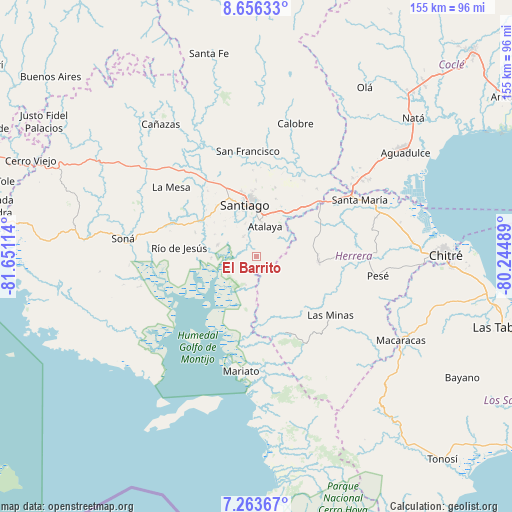
El Barrito GPS coordinates[2]
7° 57' 38.124" North, 80° 56' 52.836" West
| Map corner | latitude | longitude |
|---|---|---|
| Upper-left | 8.65633°, | -81.65114° |
| Center: | 7.96059°, | -80.94801° |
| Lower-right: | 7.26367°, | -80.24489° |
| Map W x H: | 154.8×154.9 km | = 96.2×96.3mi |
| max Lat: | 9.60898° ⇑83.6% North |
| El Barrito: | 7.96059° |
| min Lat: | ⇓16.4% South 7.26534° |
| min Long | El Barrito | max Long |
| -82.91275° | -80.94801° | -77.38965° |
| W 39.8%⇐ | ⇒60.2% E |
Elevation
Elevation of El Barrito is 138 m = 453 ft, and this is 34.1 m = 112 ft below average elevation for this country.
| Max E: |
2103 m = 6900 ft | 32.4% |
| Avg. | 172.1 m = 565 ft | |
| El Barrito | 138 m = 453 ft | |
Min E: |
-1 m = -3 ft | 67.6% |
See also: Panama elevation on elevation.city.
Geographical zone
El Barrito is located in North Torrid zone (between Equator and Tropic of Cancer). Distance of Equator is 885.1 km =550 mi to South.| Distance of | km | miles | from El Barrito |
|---|---|---|---|
| North Pole | 9121.9 | 5668.1 | to North |
| Arctic Circle | 6516 | 4048.9 | to North |
| Tropic Cancer | 1720.8 | 1069.3 | to North |
| Equator | 885.1 | 550 | to South |


Nearby cities:
15 places around El Barrito: (largest is in red/bold)
• Atalaya
9.4 km =5.8 mi,  15°
15°
• El Bongo
11.1 km =6.9 mi,  263°
263°
• El Pilón
14.2 km =8.8 mi,  267°
267°
• La Carrillo
7.1 km =4.4 mi,  82°
82°
• La Colorada
7.2 km =4.5 mi,  324°
324°
• La Garceana
8 km =5 mi,  250°
250°
• La Mata
16.2 km =10.1 mi,  27°
27°
• La Montañuela
11.8 km =7.3 mi,  52°
52°
• Limón de Tijeras
16.4 km =10.2 mi,  166°
166°
• Montijo
12.3 km =7.6 mi,  284°
284°
• Ponuga
9.3 km =5.8 mi,  201°
201°
• Rincón Largo
13.2 km =8.2 mi, 262°
• San Antonio
12.6 km =7.8 mi,  8°
8°
• San José
11.1 km =6.9 mi,  95°
95°
• Santiago de Veraguas
16 km =9.9 mi,  345°
345°
Sources, notices
• [Note1] Compared only with cities in Panama existing in our database
• [Src1] Map data: © OpenStreetMap contributors (CC-BY-SA)
• [Src2] Other city data from geonames.org with taken over terms of usage.
• [Src3] Geographical zone / Annual Mean Temperature by Robert A. Rohde @ Wikipedia
