Jaqué geodata
Jaqué (Darién) is a populated place; located in Panama in America/Panama (GMT-5) time zone. With population of 1,466 people, there are 160 cities with bigger population in this country. Compared to other cities in Panama, 98.4% of cities are located further ↑North; 95.7% of cities are located further ←West and 91.8% of cities have higher elevation than Jaqué. Note1


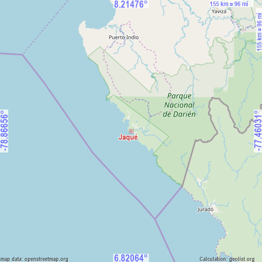
Jaqué GPS coordinates[2]
7° 31' 5.736" North, 78° 9' 48.348" West
| Map corner | latitude | longitude |
|---|---|---|
| Upper-left | 8.21476°, | -78.86656° |
| Center: | 7.51826°, | -78.16343° |
| Lower-right: | 6.82064°, | -77.46031° |
| Map W x H: | 155×155 km | = 96.3×96.3mi |
| max Lat: | 9.60898° ⇑98.4% North |
| Jaqué: | 7.51826° |
| min Lat: | ⇓1.6% South 7.26534° |
| min Long | Jaqué | max Long |
| -82.91275° | -78.16343° | -77.38965° |
| W 95.7%⇐ | ⇒4.3% E |
Elevation
Elevation of Jaqué is 11 m = 36 ft, and this is 161.1 m = 529 ft below average elevation for this country.
| Max E: |
2103 m = 6900 ft | 91.8% |
| Avg. | 172.1 m = 565 ft | |
| Jaqué | 11 m = 36 ft | |
Min E: |
-1 m = -3 ft | 8.2% |
See also: Panama elevation on elevation.city.
Geographical zone
Jaqué is located in North Torrid zone (between Equator and Tropic of Cancer). Distance of Equator is 836 km =519.5 mi to South.| Distance of | km | miles | from Jaqué |
|---|---|---|---|
| North Pole | 9171.1 | 5698.7 | to North |
| Arctic Circle | 6565.2 | 4079.4 | to North |
| Tropic Cancer | 1770 | 1099.8 | to North |
| Equator | 836 | 519.5 | to South |


Nearby cities:
15 places around Jaqué: (largest is in red/bold)
• Bayamón
50.4 km =31.3 mi,  353°
353°
• Boca de Cupé
85 km =52.8 mi,  47°
47°
• Camogantí
65.7 km =40.8 mi,  27°
27°
• Chepigana
86.3 km =53.6 mi,  8°
8°
• El Real de Santa María
84.4 km =52.4 mi,  36°
36°
• Garachiné
64.9 km =40.3 mi,  340°
340°
• Jingurudó
41.3 km =25.7 mi, 13°
• Pinogana
84.3 km =52.4 mi, 38°
• Pueblo Nuevo
70.9 km =44.1 mi, 352°
• Puerto Indio
56.2 km =34.9 mi,  355°
355°
• Puerto Piña
7.4 km =4.6 mi, 347°
• Punta Alegre
87 km =54.1 mi, 353°
• Sambú
56.6 km =35.2 mi, 354°
• Setegantí
86.5 km =53.7 mi,  4°
4°
• Tucutí
51.5 km =32 mi, 27°
Sources, notices
• [Note1] Compared only with cities in Panama existing in our database
• [Src1] Map data: © OpenStreetMap contributors (CC-BY-SA)
• [Src2] Other city data from geonames.org with taken over terms of usage.
• [Src3] Geographical zone / Annual Mean Temperature by Robert A. Rohde @ Wikipedia
