Garachiné geodata
Garachiné (Darién) is a populated place; located in Panama in America/Panama (GMT-5) time zone. With population of 1,188 people, there are 204 cities with bigger population in this country. Compared to other cities in Panama, 78.5% of cities are located further ↑North; 94.3% of cities are located further ←West and 93.8% of cities have higher elevation than Garachiné. Note1


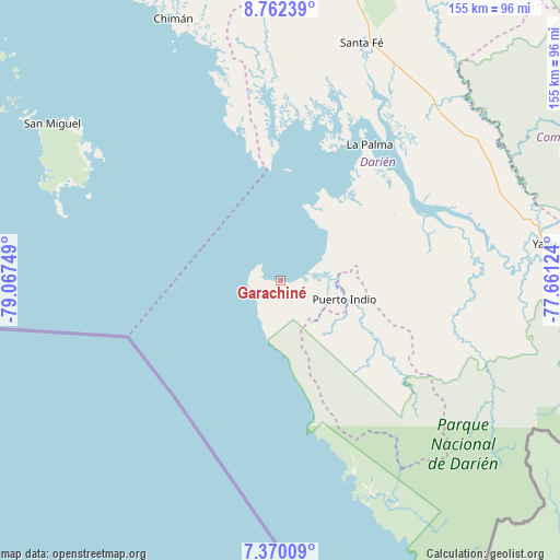
Garachiné GPS coordinates[2]
8° 4' 0.624" North, 78° 21' 51.696" West
| Map corner | latitude | longitude |
|---|---|---|
| Upper-left | 8.76239°, | -79.06749° |
| Center: | 8.06684°, | -78.36436° |
| Lower-right: | 7.37009°, | -77.66124° |
| Map W x H: | 154.8×154.8 km | = 96.2×96.2mi |
| max Lat: | 9.60898° ⇑78.5% North |
| Garachiné: | 8.06684° |
| min Lat: | ⇓21.5% South 7.26534° |
| min Long | Garachiné | max Long |
| -82.91275° | -78.36436° | -77.38965° |
| W 94.3%⇐ | ⇒5.7% E |
Elevation
Elevation of Garachiné is 9 m = 30 ft, and this is 163.1 m = 535 ft below average elevation for this country.
| Max E: |
2103 m = 6900 ft | 93.8% |
| Avg. | 172.1 m = 565 ft | |
| Garachiné | 9 m = 30 ft | |
Min E: |
-1 m = -3 ft | 6.2% |
See also: Panama elevation on elevation.city.
Geographical zone
Garachiné is located in North Torrid zone (between Equator and Tropic of Cancer). Distance of Equator is 896.9 km =557.3 mi to South.| Distance of | km | miles | from Garachiné |
|---|---|---|---|
| North Pole | 9110.1 | 5660.8 | to North |
| Arctic Circle | 6504.2 | 4041.5 | to North |
| Tropic Cancer | 1709 | 1061.9 | to North |
| Equator | 896.9 | 557.3 | to South |


Nearby cities:
15 places around Garachiné: (largest is in red/bold)
• Barriales
57.6 km =35.8 mi,  357°
357°
• Bayamón
19.6 km =12.2 mi,  123°
123°
• Camogantí
52.6 km =32.7 mi,  93°
93°
• Chepigana
42.2 km =26.2 mi,  54°
54°
• Cucunatí
57.7 km =35.9 mi,  11°
11°
• Gonzalo Vásquez
40 km =24.9 mi,  345°
345°
• Jingurudó
37.9 km =23.5 mi, 123°
• La Palma
45.1 km =28 mi,  33°
33°
• Pueblo Nuevo
15.6 km =9.7 mi, 53°
• Puerto Indio
18.2 km =11.3 mi,  105°
105°
• Puerto Piña
57.6 km =35.8 mi,  159°
159°
• Punta Alegre
28.1 km =17.5 mi, 25°
• Sambú
17.7 km =11 mi, 105°
• Setegantí
38.5 km =23.9 mi, 49°
• Tucutí
48.6 km =30.2 mi, 108°
Sources, notices
• [Note1] Compared only with cities in Panama existing in our database
• [Src1] Map data: © OpenStreetMap contributors (CC-BY-SA)
• [Src2] Other city data from geonames.org with taken over terms of usage.
• [Src3] Geographical zone / Annual Mean Temperature by Robert A. Rohde @ Wikipedia
