Lucma geodata
Lucma (La Libertad) is a seat of a third-order administrative division; located in Peru in America/Lima (GMT-5) time zone. In our database, there are 305 cities with bigger population. Compared to other cities in Peru, 75.8% of cities are located further ↓South; 86.2% of cities are located further →East and 64.2% of cities have higher elevation than Lucma. Note1


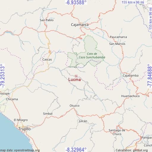
Lucma GPS coordinates[2]
7° 37' 59.988" South, 78° 33' 0" West
| Map corner | latitude | longitude |
|---|---|---|
| Upper-left | -6.93588°, | -79.25313° |
| Center: | -7.63333°, | -78.55° |
| Lower-right: | -8.32964°, | -77.84688° |
| Map W x H: | 155×155 km | = 96.3×96.3mi |
| max Lat: | -0.96667° ⇑24.2% North |
| Lucma: | -7.63333° |
| min Lat: | ⇓75.8% South -18.01465° |
| min Long | Lucma | max Long |
| -81.30472° | -78.55° | -69.04167° |
| W 13.8%⇐ | ⇒86.2% E |
Elevation
Elevation of Lucma is 2126 m = 6975 ft, and this is 192.7 m = 632 ft below average elevation for this country.
| Max E: |
5022 m = 16476 ft | 64.2% |
| Avg. | 2318.7 m = 7607 ft | |
| Lucma | 2126 m = 6975 ft | |
Min E: |
1 m = 3 ft | 35.8% |
See also: Peru elevation on elevation.city.
Geographical zone
Lucma is located in South Torrid zone (between Equator and Tropic of Capricorn). Distance of Equator is 848.7 km =527.4 mi to North.| Distance of | km | miles | from Lucma |
|---|---|---|---|
| Equator | 848.7 | 527.4 | to North |
| Tropic Capricorn | 1757.2 | 1091.9 | to South |
| Antarctic Circle | 6552.4 | 4071.5 | to South |
| South Pole | 9158.3 | 5690.7 | to South |


Nearby cities:
15 places around Lucma: (largest is in red/bold)
• Agallpampa
38.9 km =24.2 mi,  180°
180°
• Cachachi
35.8 km =22.2 mi,  55°
55°
• Cascas
33.8 km =21 mi,  299°
299°
• Charat
24.8 km =15.4 mi,  153°
153°
• Guzmango
47.6 km =29.6 mi,  305°
305°
• Huaranchal
12.3 km =7.6 mi,  116°
116°
• La Cuesta
36.5 km =22.7 mi,  210°
210°
• Mache
44.5 km =27.7 mi, 177°
• Magdalena
44.5 km =27.7 mi,  343°
343°
• Otuzco
29.9 km =18.6 mi,  187°
187°
• Salpo
41.4 km =25.7 mi, 190°
• San Juan
37.5 km =23.3 mi,  8°
8°
• Sayapullo
9.9 km =6.2 mi,  68°
68°
• Sinsicap
32.6 km =20.3 mi,  227°
227°
• Usquil
25.1 km =15.6 mi,  144°
144°
Sources, notices
• [Note1] Compared only with cities in Peru existing in our database
• [Src1] Map data: © OpenStreetMap contributors (CC-BY-SA)
• [Src2] Other city data from geonames.org with taken over terms of usage.
• [Src3] Geographical zone / Annual Mean Temperature by Robert A. Rohde @ Wikipedia
