Huaranchal geodata
Huaranchal (La Libertad) is a seat of a third-order administrative division; located in Peru in America/Lima (GMT-5) time zone. In our database, there are 305 cities with bigger population. Compared to other cities in Peru, 75.7% of cities are located further ↓South; 85.2% of cities are located further →East and 61.5% of cities have higher elevation than Huaranchal. Note1


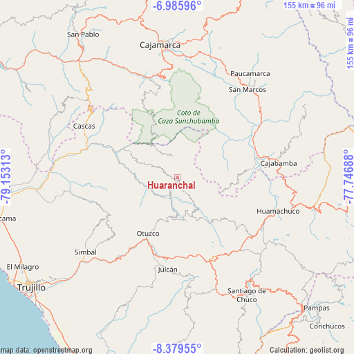
Huaranchal GPS coordinates[2]
7° 40' 59.988" South, 78° 27' 0" West
| Map corner | latitude | longitude |
|---|---|---|
| Upper-left | -6.98596°, | -79.15313° |
| Center: | -7.68333°, | -78.45° |
| Lower-right: | -8.37955°, | -77.74688° |
| Map W x H: | 155×155 km | = 96.3×96.3mi |
| max Lat: | -0.96667° ⇑24.3% North |
| Huaranchal: | -7.68333° |
| min Lat: | ⇓75.7% South -18.01465° |
| min Long | Huaranchal | max Long |
| -81.30472° | -78.45° | -69.04167° |
| W 14.8%⇐ | ⇒85.2% E |
Elevation
Elevation of Huaranchal is 2345 m = 7694 ft, and this is 26.3 m = 86 ft above average elevation for this country.
| Max E: |
5022 m = 16476 ft | 61.5% |
| Huaranchal | 2345 m 7694 ft | |
| Avg. | 2318.7 m = 7607 ft | |
Min E: |
1 m = 3 ft | 38.5% |
See also: Peru elevation on elevation.city.
Geographical zone
Huaranchal is located in South Torrid zone (between Equator and Tropic of Capricorn). Distance of Equator is 854.3 km =530.8 mi to North.| Distance of | km | miles | from Huaranchal |
|---|---|---|---|
| Equator | 854.3 | 530.8 | to North |
| Tropic Capricorn | 1751.6 | 1088.4 | to South |
| Antarctic Circle | 6546.9 | 4068.1 | to South |
| South Pole | 9152.8 | 5687.3 | to South |


Nearby cities:
15 places around Huaranchal: (largest is in red/bold)
• Agallpampa
35.1 km =21.8 mi,  198°
198°
• Cachachi
31.8 km =19.8 mi,  35°
35°
• Cauday
41.9 km =26 mi,  74°
74°
• Charat
16.7 km =10.4 mi,  180°
180°
• La Cuesta
39.2 km =24.4 mi,  228°
228°
• La Grama
42.4 km =26.3 mi,  55°
55°
• Lucma
12.3 km =7.6 mi,  296°
296°
• Mache
40 km =24.9 mi,  193°
193°
• Otuzco
28.2 km =17.5 mi,  211°
211°
• Quiruvilca
41.8 km =26 mi,  138°
138°
• Salpo
39.7 km =24.7 mi, 207°
• San Juan
43 km =26.7 mi,  352°
352°
• Sayapullo
9.4 km =5.8 mi, 348°
• Sinsicap
38.7 km =24 mi,  244°
244°
• Usquil
15.3 km =9.5 mi,  166°
166°
Sources, notices
• [Note1] Compared only with cities in Peru existing in our database
• [Src1] Map data: © OpenStreetMap contributors (CC-BY-SA)
• [Src2] Other city data from geonames.org with taken over terms of usage.
• [Src3] Geographical zone / Annual Mean Temperature by Robert A. Rohde @ Wikipedia
