Paucar geodata
Paucar (Pasco) is a seat of a third-order administrative division; located in Peru in America/Lima (GMT-5) time zone. In our database, there are 305 cities with bigger population. Compared to other cities in Peru, 58.6% of cities are located further ↓South; 58.7% of cities are located further →East and 70.8% of cities have lower elevation than Paucar. Note1


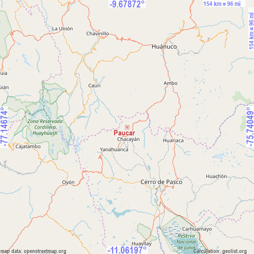
Paucar GPS coordinates[2]
10° 22' 15.996" South, 76° 26' 36.996" West
| Map corner | latitude | longitude |
|---|---|---|
| Upper-left | -9.67872°, | -77.14674° |
| Center: | -10.37111°, | -76.44361° |
| Lower-right: | -11.06197°, | -75.74049° |
| Map W x H: | 153.8×153.8 km | = 95.6×95.6mi |
| max Lat: | -0.96667° ⇑41.4% North |
| Paucar: | -10.37111° |
| min Lat: | ⇓58.6% South -18.01465° |
| min Long | Paucar | max Long |
| -81.30472° | -76.44361° | -69.04167° |
| W 41.3%⇐ | ⇒58.7% E |
Elevation
Elevation of Paucar is 3359 m = 11020 ft, and this is 1040.3 m = 3413 ft above average elevation for this country.
| Max E: |
5022 m = 16476 ft | 29.2% |
| Paucar | 3359 m 11020 ft | |
| Avg. | 2318.7 m = 7607 ft | |
Min E: |
1 m = 3 ft | 70.8% |
See also: Peru elevation on elevation.city.
Geographical zone
Paucar is located in South Torrid zone (between Equator and Tropic of Capricorn). Distance of Equator is 1153.2 km =716.6 mi to North.| Distance of | km | miles | from Paucar |
|---|---|---|---|
| Equator | 1153.2 | 716.6 | to North |
| Tropic Capricorn | 1452.8 | 902.7 | to South |
| Antarctic Circle | 6248 | 3882.3 | to South |
| South Pole | 8853.9 | 5501.6 | to South |


Nearby cities:
15 places around Paucar: (largest is in red/bold)
• Cauri
32.3 km =20.1 mi,  322°
322°
• Cayna
12.6 km =7.8 mi,  28°
28°
• Chaupimarca
4.4 km =2.7 mi,  206°
206°
• Colpas
11.8 km =7.3 mi,  15°
15°
• Goyllarisquizga
12 km =7.5 mi,  161°
161°
• Huacar
32.6 km =20.3 mi,  43°
43°
• Huariaca
28.8 km =17.9 mi,  105°
105°
• Mosca
16.9 km =10.5 mi,  79°
79°
• Pallanchacra
23.3 km =14.5 mi,  102°
102°
• San Miguel de Cauri
32.5 km =20.2 mi, 322°
• San Rafael
28.7 km =17.8 mi, 82°
• Vilcabamba
11.9 km =7.4 mi,  182°
182°
• Yanacancha
26.4 km =16.4 mi,  303°
303°
• Yanahuanca
15.6 km =9.7 mi, 210°
• Yanahuanca
17.3 km =10.7 mi,  200°
200°
Sources, notices
• [Note1] Compared only with cities in Peru existing in our database
• [Src1] Map data: © OpenStreetMap contributors (CC-BY-SA)
• [Src2] Other city data from geonames.org with taken over terms of usage.
• [Src3] Geographical zone / Annual Mean Temperature by Robert A. Rohde @ Wikipedia
